Bleicherode Hills

Gallery (2)
Map
Map
Gallery
Facts and practical information
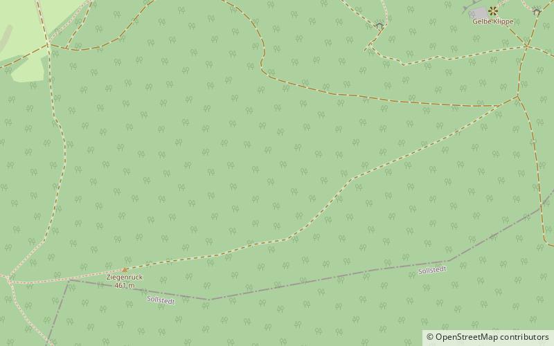
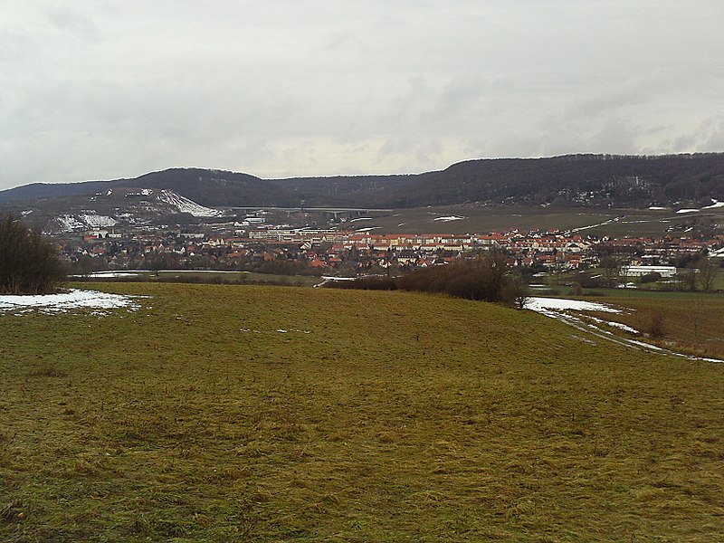
The Bleicherode Hills in the counties of Nordhausen and Eichsfeld in North Thuringia are the east-southeastern foothills of the Ohm Hills in the Lower Eichsfeld. They reach a maximum height of 460.8 m above sea level at the summit of the Ziegenrück. Together with the Ohm Hills they cover an area of about 76 km² of which the Bleicherode Hills make up roughly 16 km² of the total landscape area. ()
Location
Thuringia
ContactAdd
Social media
Add
Day trips


