St. Mariä Himmelfahrt, Ahaus

Gallery (1)
Map
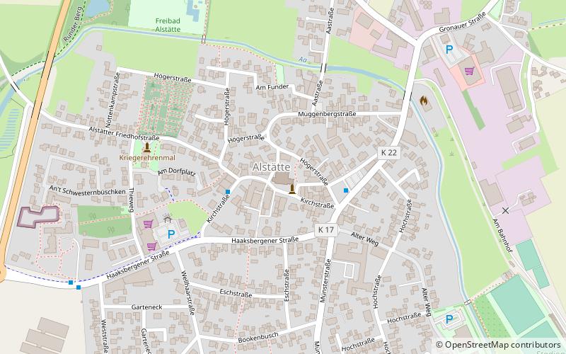
Map
Facts and practical information
St. Mariä Himmelfahrt (address: Kirchstraße 12) is a place located in Ahaus (North Rhine-Westphalia state) and belongs to the category of church.
It is situated at an altitude of 141 feet, and its geographical coordinates are 52°7'42"N latitude and 6°54'52"E longitude.
Among other places and attractions worth visiting in the area are: Schloss Ahaus (forts and castles, 139 min walk), Kriegerdenkmal Buterland-Beckerhook, Gronau (memorial, 166 min walk).
Coordinates: 52°7'42"N, 6°54'52"E
Day trips

