Dynochrom, Frankfurt
Facts and practical information
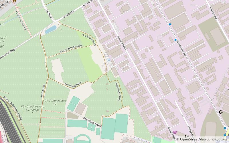
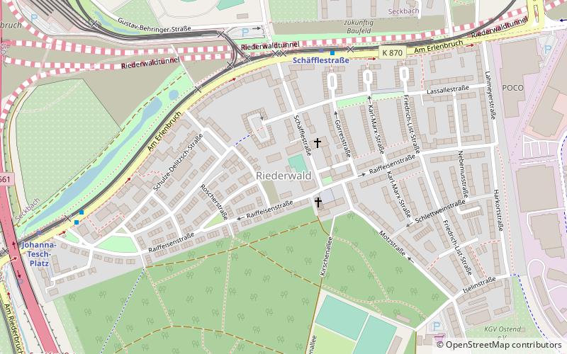
Dynochrom (address: Flinschstr. 45) is a place located in Frankfurt (Hesse state) and belongs to the category of climbing.
It is situated at an altitude of 328 feet, and its geographical coordinates are 50°8'12"N latitude and 8°43'58"E longitude.
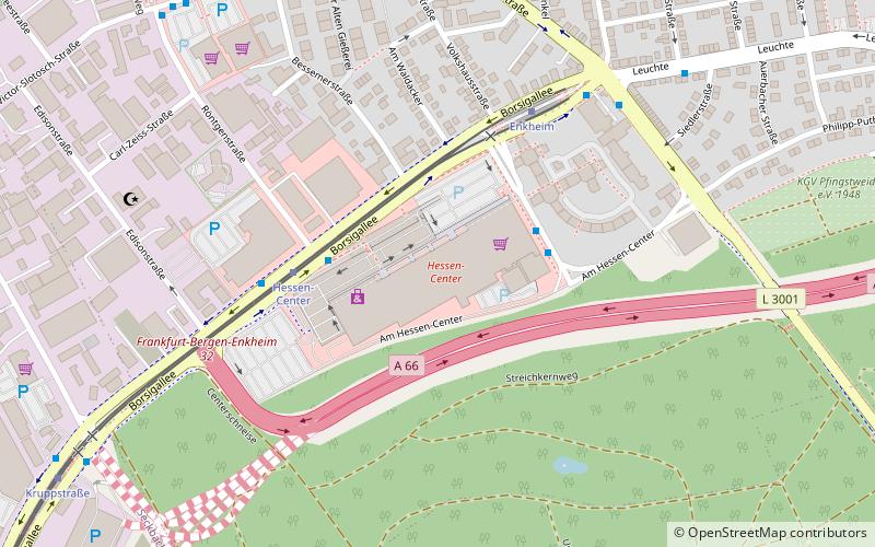
Planning a visit to this place, one can easily and conveniently get there by public transportation. Dynochrom is a short distance from the following public transport stations: Gwinnerstraße Mitte (bus, 6 min walk), Schäfflestraße (metro, 10 min walk), Gwinnerstraße (train, 12 min walk), Dieselstraße (tram, 26 min walk).
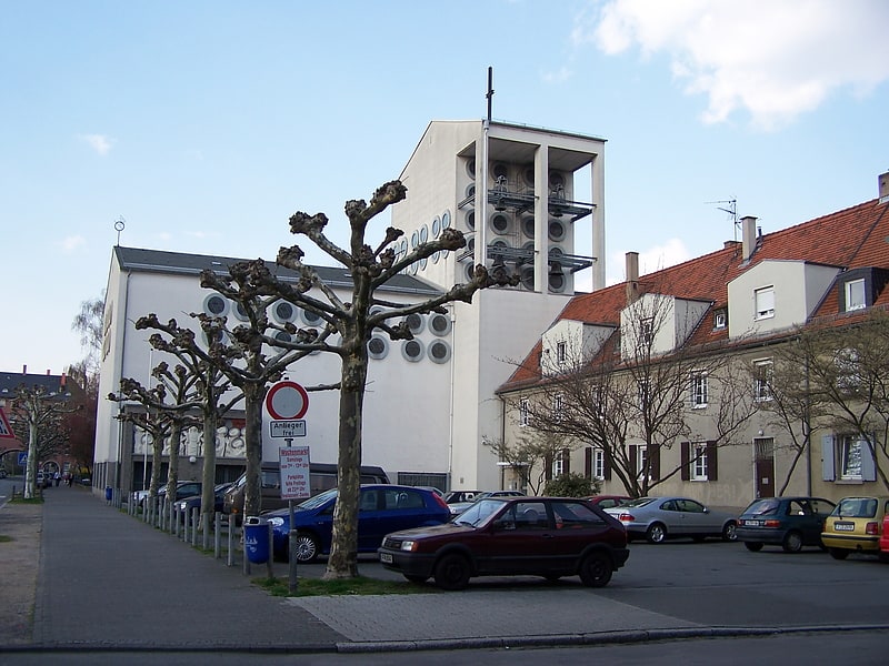
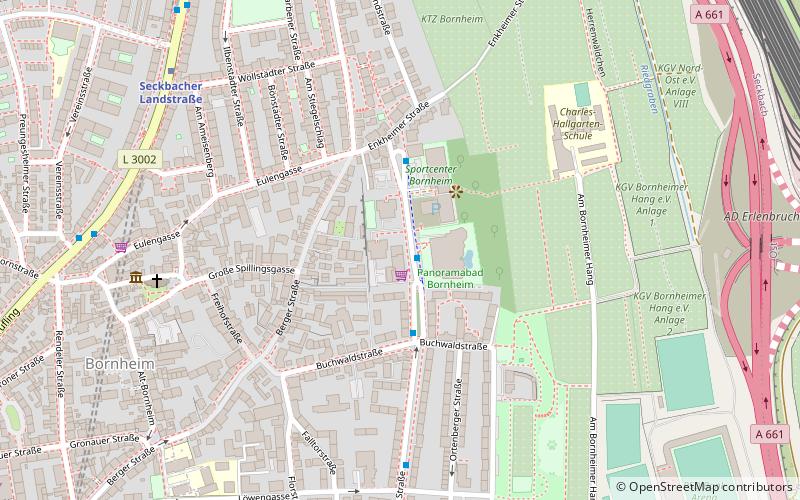
Among other places and attractions worth visiting in the area are: Riederwaldstadion (sport venue, 8 min walk), Heilig Geist (church, 13 min walk), Seckbach (neighbourhood, 14 min walk).
- Metro
- Bus
- Tram
- Train
 Metro
Metro
- Calculate routeGwinnerstraße Mitte 6 min walk
- Calculate routeGelastraße 9 min walk
- Calculate routeSchäfflestraße 11 min walk
- Calculate routeGwinnerstraße 11 min walk
- Calculate routeSchäfflestraße 10 min walk
- Calculate routeGwinnerstraße 12 min walk
- Calculate routeKruppstraße 14 min walk
- Calculate routeJohanna-Tesch-Platz 18 min walk
- Calculate routeGwinnerstraße 12 min walk
- Calculate routeJohanna-Tesch-Platz 18 min walk
- Calculate routeDieselstraße 26 min walk
- Calculate routeErnst-May-Platz 27 min walk
- Calculate routeDaimlerstraße 27 min walk
- Calculate routeHugo-Junkers-Straße 29 min walk


Frequently Asked Questions (FAQ)
Which popular attractions are close to Dynochrom?
How to get to Dynochrom by public transport?
Bus
- Gwinnerstraße Mitte • Lines: 41, 44 (6 min walk)
- Gelastraße • Lines: 41, 44 (9 min walk)
Metro
- Schäfflestraße • Lines: U4, U7 (10 min walk)
- Gwinnerstraße • Lines: U4, U7 (12 min walk)
Train
- Gwinnerstraße (12 min walk)
- Johanna-Tesch-Platz (18 min walk)
Tram
- Dieselstraße • Lines: 11, 12 (26 min walk)
- Ernst-May-Platz • Lines: 14 (27 min walk)