Wittelsbacher Palais, Munich
Map
Map

Facts and practical information
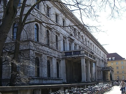
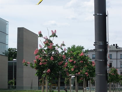
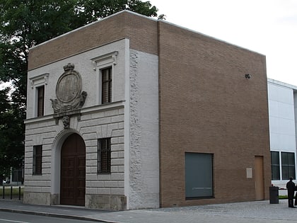
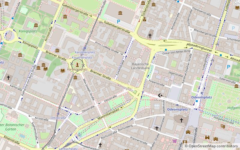
The Wittelsbacher Palais was located in Munich at the northeast corner of the Brienner Strasse and the Türkenstraße. Today, a building of the BayernLB is located at the site of the palace. A copy of one of two stone lions at the entrance area is the only keepsake of the palace. ()
Address
Maxvorstadt (Universität)Munich
ContactAdd
Social media
Add
Day trips
Wittelsbacher Palais – popular in the area (distance from the attraction)
Nearby attractions include: Fünf Höfe, Museum Brandhorst, Pinakothek der Moderne, Theatinerkirche.
Frequently Asked Questions (FAQ)
Which popular attractions are close to Wittelsbacher Palais?
Nearby attractions include Nornenbrunnen, Munich (3 min walk), Pinakothek der Moderne, Munich (4 min walk), St. Markus, Munich (5 min walk), SiemensForum München, Munich (5 min walk).
How to get to Wittelsbacher Palais by public transport?
The nearest stations to Wittelsbacher Palais:
Tram
Bus
Metro
Train
Tram
- Karolinenplatz • Lines: 27, 28, N27 (4 min walk)
- Ottostraße • Lines: 27, 28, N27 (7 min walk)
Bus
- Oskar-von-Miller-Ring • Lines: 100, 58 (5 min walk)
- Pinakotheken • Lines: 100, 58 (5 min walk)
Metro
- Odeonsplatz • Lines: U3, U4, U5, U6 (7 min walk)
- Karlsplatz • Lines: U4, U5 (10 min walk)
Train
- Karlsplatz (12 min walk)
- Marienplatz (13 min walk)

