Helenesee, Frankfurt an der Oder
Map

Map

Facts and practical information
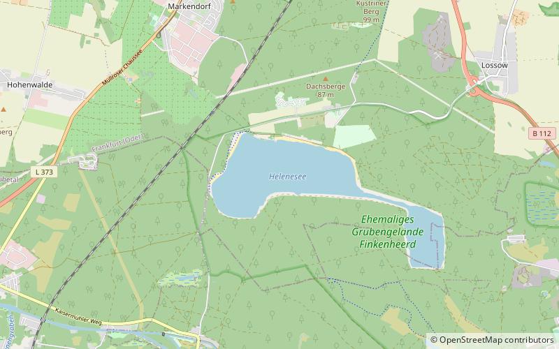
Helenesee is a lake in Brandenburg, Germany. Its surface area is ca. 250 ha. With a depth of 56.63 m, the Helenseee is the second deepest lake in Brandenburg, only surpassed by the lake Großer Stechlinsee. It is situated approximately 8 kilometers in the south of Frankfurt. It was formed after the flooding of a former open-pit mining which started in 1958. ()
Alternative names: Area: 0.83 mi²Length: 8202 ftWidth: 2953 ftMaximum depth: 186 ftElevation: 138 ft a.s.l.Coordinates: 52°16'13"N, 14°29'46"E
Address
Frankfurt an der Oder
ContactAdd
Social media
Add
Day trips
Helenesee – popular in the area (distance from the attraction)
Nearby attractions include: Kleist-Museum, Stadion der Freundschaft, Marienkirche, Sankt-Gertraud-Kirche.
Frequently Asked Questions (FAQ)
How to get to Helenesee by public transport?
The nearest stations to Helenesee:
Bus
Train
Bus
- Helenesee • Lines: 984, 986 (17 min walk)
- Zum Schäfer • Lines: 984, 986 (24 min walk)
Train
- Helenesee (25 min walk)


