Karl-Schwering-Platz, Cologne
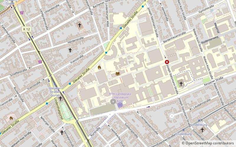
Map
Gallery
Facts and practical information
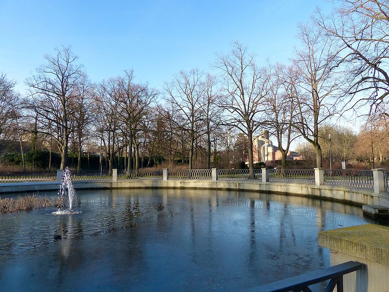
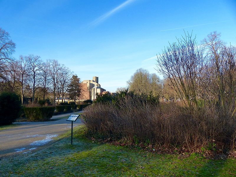
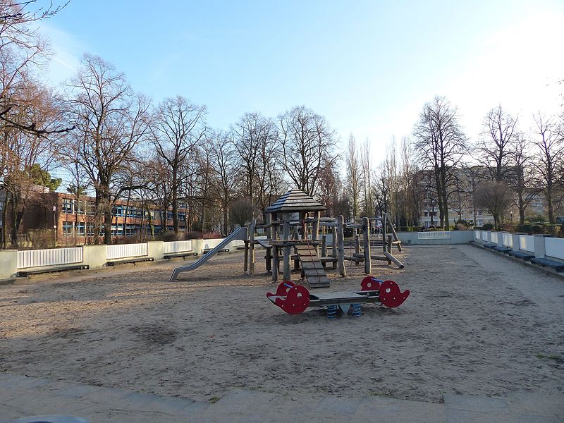
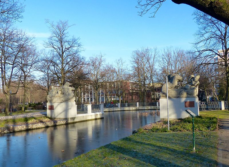
Karl-Schwering-Platz is a green space designed in 1925 by horticultural director Fritz Encke in the Cologne borough of Lindenthal. The square is part of the green corridor of the Lindenthaler Canal, which was created as a connection between the Inner Green Belt at the Aachener Weiher and the city forest in the Outer Green Belt on the initiative of the then Mayor of Cologne Konrad Adenauer. The elongated square was named after the former principal of the Apostelgymnasium, Karl Schwering.
Elevation: 171 ft a.s.l.Coordinates: 50°55'60"N, 6°55'2"E
Address
LindenthalCologne
ContactAdd
Social media
Add
Day trips
Karl-Schwering-Platz – popular in the area (distance from the attraction)
Nearby attractions include: Live Music Hall, Cologne Central Mosque, Melaten Cemetery, Museum of East Asian Art.
Frequently Asked Questions (FAQ)
Which popular attractions are close to Karl-Schwering-Platz?
Nearby attractions include Christi Auferstehung, Cologne (4 min walk), Lortzingplatz, Cologne (8 min walk), Japanisches Kulturinstitut, Cologne (10 min walk), Museum of East Asian Art, Cologne (10 min walk).
How to get to Karl-Schwering-Platz by public transport?
The nearest stations to Karl-Schwering-Platz:
Tram
Bus
Train
Tram
- Melaten • Lines: 1, 7 (7 min walk)
- Universitätsstraße • Lines: 1, 7 (11 min walk)
Bus
- Universitätsstraße • Lines: 142 (10 min walk)
- Aachener Straße / Gürtel • Lines: 140, 172, 173 (11 min walk)
Train
- Köln Süd (25 min walk)
- Köln West (25 min walk)


