Harkotten, Sassenberg

Gallery (1)
Map
Map
Facts and practical information
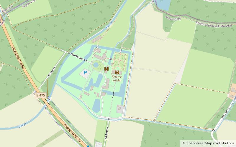
Harkotten (address: Harkotten 2) is a place located in Sassenberg (North Rhine-Westphalia state) and belongs to the category of forts and castles.
It is situated at an altitude of 220 feet, and its geographical coordinates are 52°3'40"N latitude and 8°1'57"E longitude.
Among other places and attractions worth visiting in the area are: Bad Laer (locality, 95 min walk), Petri Kirche, Versmold (church, 138 min walk).
Coordinates: 52°3'40"N, 8°1'57"E
Address
Harkotten 2Sassenberg
ContactAdd
Social media
Add
Day trips

