Rathaus Ichenhausen, Ichenhausen
Map

Map

Facts and practical information
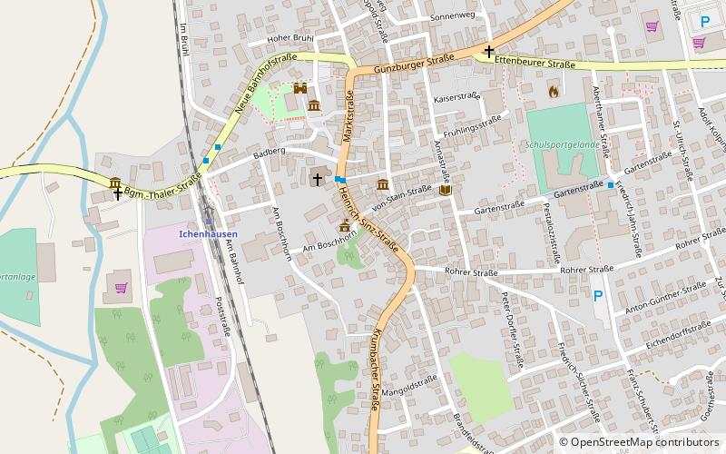
The town hall in Ichenhausen, a town in the district of Günzburg in the Bavarian administrative district of Swabia, was built in 1566. Today's town hall, the former Upper Castle, at Heinrich-Sinz-Strasse 14 is a protected architectural monument.
Coordinates: 48°22'12"N, 10°18'21"E
Day trips
Rathaus Ichenhausen – popular in the area (distance from the attraction)
Nearby attractions include: Legoland Deutschland, Legoland Germany, Edelstetten Abbey, Wettenhausen Abbey.
Frequently Asked Questions (FAQ)
Which popular attractions are close to Rathaus Ichenhausen?
Nearby attractions include Former Synagogue, Ichenhausen (2 min walk), St. Leonhard, Ichenhausen (7 min walk), Jüdischer Friedhof Ichenhausen, Ichenhausen (19 min walk).


