Schwaltenweiher

Map
Facts and practical information
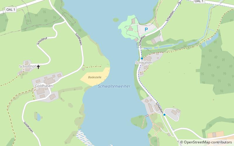
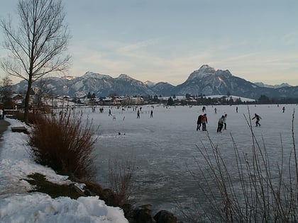
The Schwaltenweiher is a reservoir in the Ostallgäu foothills of the Alps in Bavaria, Germany. It lies 14 km from the Allgäu Alps between the towns of Seeg and Rückholz. It was named after the Schwaltenmühle mill built beside it, which was in turn named after the Schwalt or Schwald family. It is now used for bathing and fishing. ()
Location
Bavaria
ContactAdd
Social media
Add
Day trips
Schwaltenweiher – popular in the area (distance from the attraction)
Nearby attractions include: Hohenfreyberg Castle, Eisenberg Castle, Falkenstein, St. Nikolaus parish church.


