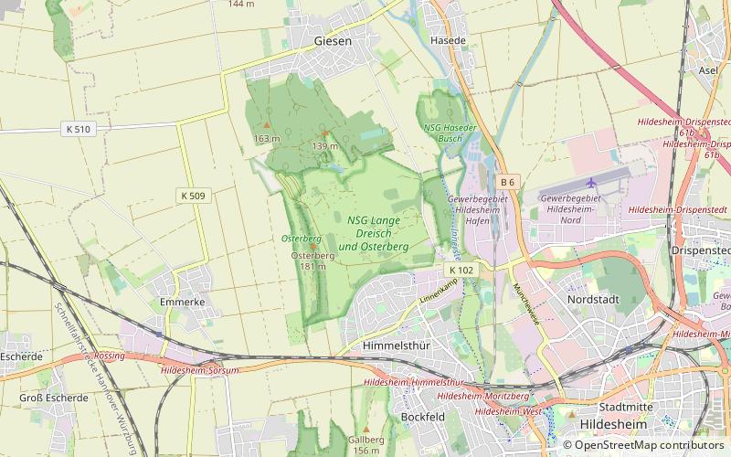
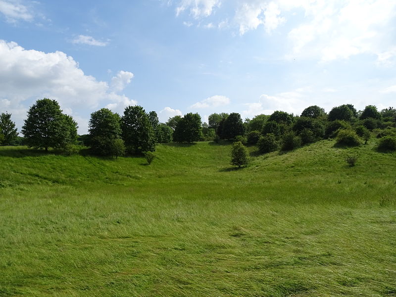
NSG Lange Dreisch und Osterberg, Hildesheim

Gallery (3)
Map
Map
Gallery
Facts and practical information
Lange Dreisch und Osterberg is a nature reserve in the city of Hildesheim in Lower Saxony, Germany.
Area: 0.94 mi²Elevation: 410 ft a.s.l.Coordinates: 52°10'29"N, 9°54'17"E
Address
Hildesheim
ContactAdd
Social media
Add
Getting there by public transportation
Public transportation stops near this location
- Bus
 Bus
Bus
- Calculate routeGüldener Winkel 14 min walk
- Calculate routeHimmelsthür 15 min walk
- Calculate routeLinnenkamp 18 min walk
- Calculate routeAm Osterberg 19 min walk
Day trips


Frequently Asked Questions (FAQ)
How to get to NSG Lange Dreisch und Osterberg by public transport?
The nearest stations to NSG Lange Dreisch und Osterberg:
Bus
Bus
- Güldener Winkel • Lines: 1, 101 (14 min walk)
- Himmelsthür • Lines: 1, 101 (15 min walk)