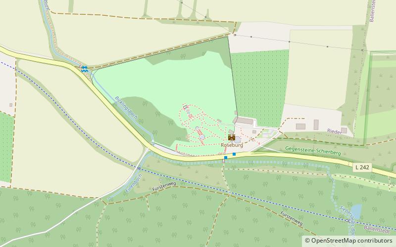
Roseburg
Map

Map

Facts and practical information
The Roseburg is a new castle building completed in 1908 by Bernhard Sehring on the state road 242 between Ballenstedt and Rieder in the eastern Harz Mountains, Harz County, Saxony-Anhalt, Germany.
Coordinates: 51°43'39"N, 11°11'38"E
Day trips
Roseburg – popular in the area (distance from the attraction)
Nearby attractions include: Burg Falkenstein, Saint Cyriakus, Stecklenburg, Oberhof.
Frequently Asked Questions (FAQ)
When is Roseburg open?
Roseburg is open:
- Monday closed
- Tuesday closed
- Wednesday closed
- Thursday closed
- Friday 12 pm - 6 pm
- Saturday 12 pm - 6 pm
- Sunday 12 pm - 6 pm


