Hans-Albers-Platz, Hamburg
Map
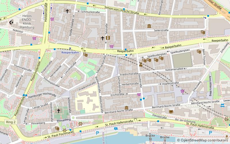
Map

Facts and practical information
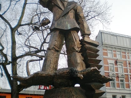
Hans-Albers-Platz is a square in St. Pauli, Hamburg, Germany. It is one of the most popular places and tourist attractions within the red light district south of the famous street of Reeperbahn. It is named after the actor and singer Hans Albers. ()
Address
Hamburg-Mitte (St. Pauli)Hamburg
ContactAdd
Social media
Add
Day trips
Hans-Albers-Platz – popular in the area (distance from the attraction)
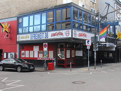
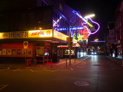
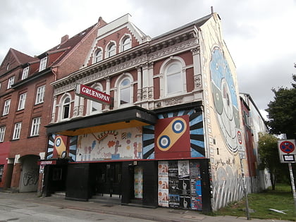
Nearby attractions include: Große Freiheit 36, Kaiserkeller, St. Pauli, Gruenspan.
Frequently Asked Questions (FAQ)
Which popular attractions are close to Hans-Albers-Platz?
Nearby attractions include Herbertstraße, Hamburg (2 min walk), Reeperbahn, Hamburg (2 min walk), St. Pauli Theater, Hamburg (3 min walk), Erotic Art Museum, Hamburg (3 min walk).
How to get to Hans-Albers-Platz by public transport?
The nearest stations to Hans-Albers-Platz:
Bus
Light rail
Ferry
Metro
Train
Bus
- Davidstraße • Lines: 111, 112, 16, 601, 607, 608, 609, 610, 641, 688 (2 min walk)
- Bernhard-Nocht-Straße • Lines: 111 (4 min walk)
Light rail
- Reeperbahn • Lines: S1, S2, S3 (4 min walk)
- Landungsbrücken • Lines: S1, S2, S3 (12 min walk)
Ferry
- St. Pauli-Landungsbrücken • Lines: FRS HanseFerry (7 min walk)
- Altona • Lines: 61, 62 (13 min walk)
Metro
- St. Pauli • Lines: U3 (11 min walk)
- Landungsbrücken • Lines: U3 (13 min walk)
Train
- Hamburg-Altona (29 min walk)
- Hamburg Dammtor / Universität (37 min walk)
