Liebenwerda Heath

Facts and practical information
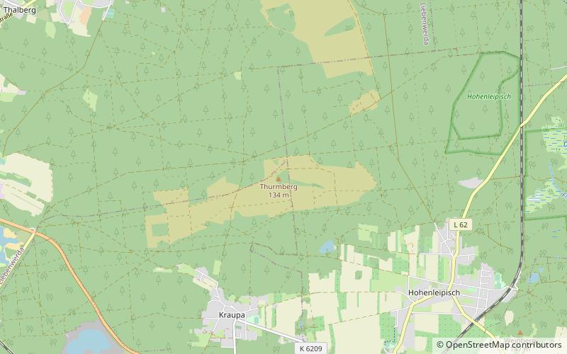
The Liebenwerda Heath, formerly also the Liebenwerda District Heath, is a forest region in the south of the German state of Brandenburg in Elbe-Elster Land that in earlier times was mainly used for forestry and hunting. It is located east of the spa town of Bad Liebenwerda between the villages of Dobra in the west and Gorden in the east. To the north it extends as far as the village of Oppelhain in the municipality of Rückersdorf and in the south to the northern boundary of Haida. In 1557, the Electoral Saxon mine surveyour and state land surveyor, Georg Öder, gave the dimensions of the heath as three miles long and one mile wide. ()
Brandenburg
Liebenwerda Heath – popular in the area (distance from the attraction)
Nearby attractions include: Wonnemar Bad Liebenwerda, Lower Lusatian Heath Nature Park, Brikettfabrik Louise, Kraftwerk Plessa.


