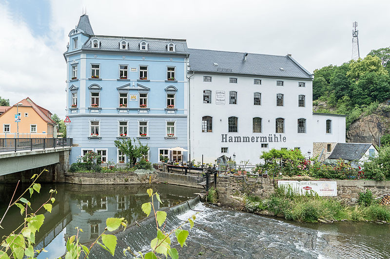
Hammermühle, Bautzen

Gallery (2)
Map
Map
Gallery
Facts and practical information
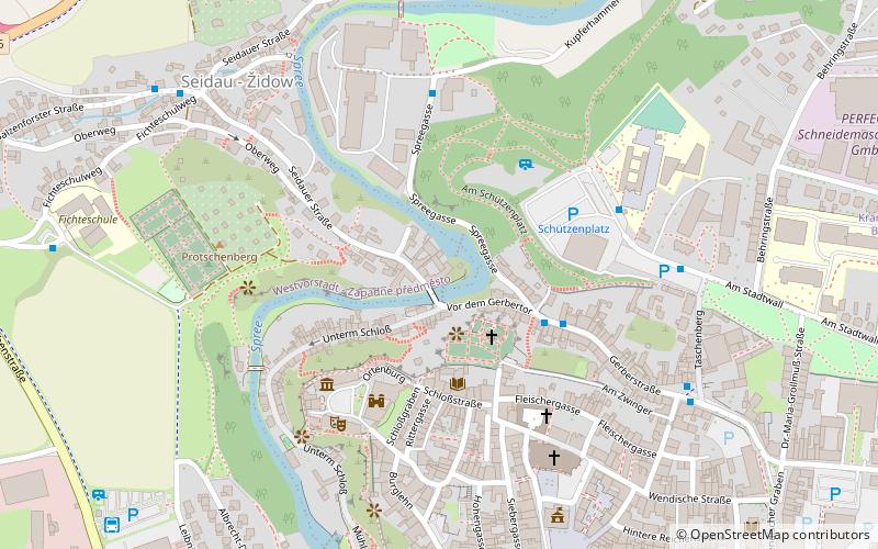
Hammermühle (address: Seidauer Str. 2) is a place located in Bautzen (Saxony state) and belongs to the category of watermill.
It is situated at an altitude of 600 feet, and its geographical coordinates are 51°11'5"N latitude and 14°25'17"E longitude.
Planning a visit to this place, one can easily and conveniently get there by public transportation. Hammermühle is a short distance from the following public transport stations: Bautzen Gerberstraße (bus, 3 min walk), Bautzen / Budyšin (train, 22 min walk).
Among other places and attractions worth visiting in the area are: Nicolaiturm (tower, 3 min walk), Matthiasturm (museum, 3 min walk), Ortenburg (forts and castles, 3 min walk).
Coordinates: 51°11'5"N, 14°25'17"E
Address
Seidauer Str. 2Bautzen
ContactAdd
Social media
Add
Getting there by public transportation
Public transportation stops near this location
- Bus
- Train
 Bus
Bus
- Calculate routeBautzen Gerberstraße 3 min walk
- Calculate routeBautzen Salzenforster Straße 8 min walk
- Calculate routeBautzen / Budyšin 22 min walk
Day trips


Frequently Asked Questions (FAQ)
Which popular attractions are close to Hammermühle?
Nearby attractions include Nicolaiturm, Bautzen (3 min walk), Matthiasturm, Bautzen (3 min walk), Ortenburg, Bautzen (3 min walk), Ortenburg, Bautzen (3 min walk).
How to get to Hammermühle by public transport?
The nearest stations to Hammermühle:
Bus
Train
Bus
- Bautzen Gerberstraße • Lines: 6 (3 min walk)
- Bautzen Salzenforster Straße • Lines: 7 (8 min walk)
Train
- Bautzen / Budyšin (22 min walk)