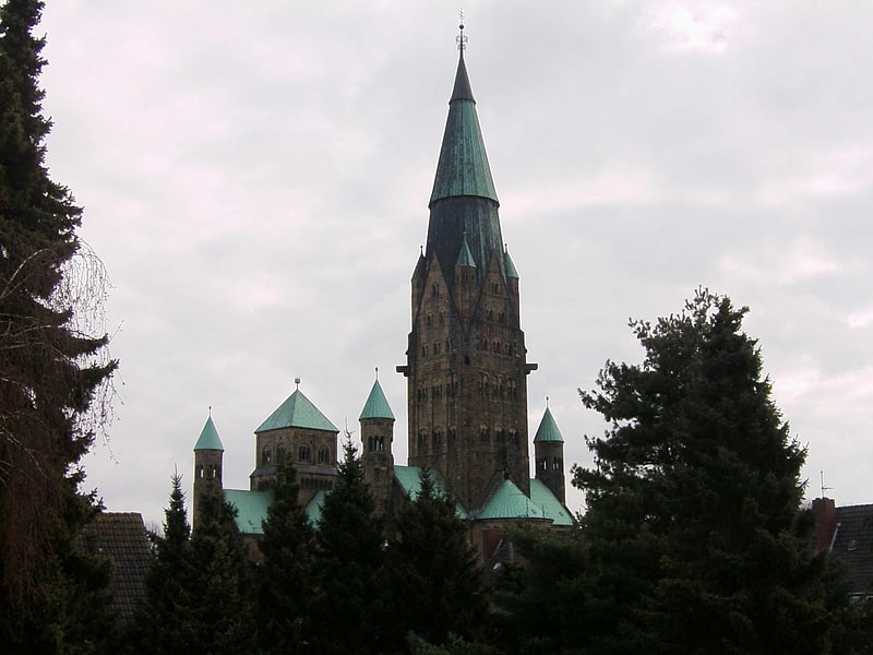
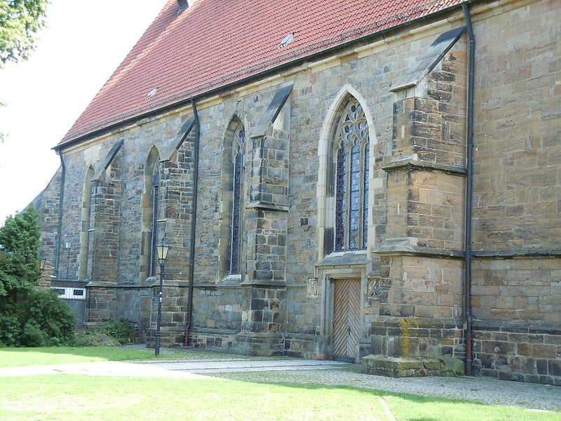
St. Ludgerus, Rheine
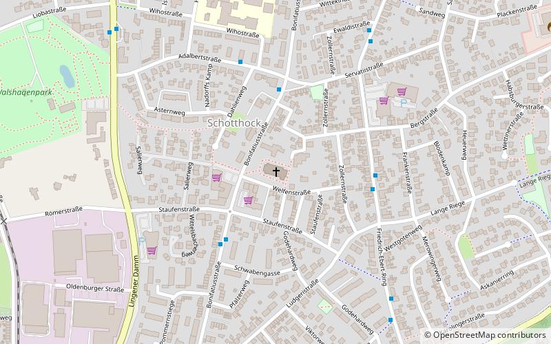
Map
Facts and practical information
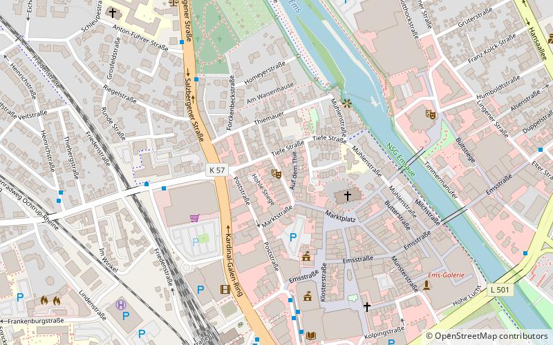
St. Ludgerus (address: Bonifatiusstr. 50) is a place located in Rheine (North Rhine-Westphalia state) and belongs to the category of architecture, sacred and religious sites, church.
It is situated at an altitude of 131 feet, and its geographical coordinates are 52°17'37"N latitude and 7°26'48"E longitude.
Planning a visit to this place, one can easily and conveniently get there by public transportation. St. Ludgerus is a short distance from the following public transport stations: Schwabengasse (bus, 3 min walk), Altenrheine (train, 19 min walk).
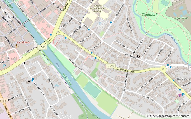
Among other places and attractions worth visiting in the area are: Musikhaus Fockers (shopping, 3 min walk), Walshagenpark (park, 9 min walk), St Antonius basilica (church, 21 min walk).
Coordinates: 52°17'37"N, 7°26'48"E
Getting there by public transportation
Public transportation stops near this location
- Bus
- Train
 Bus
Bus
- Calculate routeSchwabengasse 3 min walk
- Calculate routeLudgeruskirche 4 min walk
- Calculate routeBergstraße 4 min walk
- Calculate routeAltenrheine 19 min walk
Day trips


Frequently Asked Questions (FAQ)
Which popular attractions are close to St. Ludgerus?
Nearby attractions include Walshagenpark, Rheine (9 min walk), St Antonius basilica, Rheine (21 min walk), Stadthalle, Rheine (24 min walk).
How to get to St. Ludgerus by public transport?
The nearest stations to St. Ludgerus:
Bus
Train
Bus
- Schwabengasse • Lines: C1 (3 min walk)
- Ludgeruskirche • Lines: C1 (4 min walk)
Train
- Altenrheine (19 min walk)