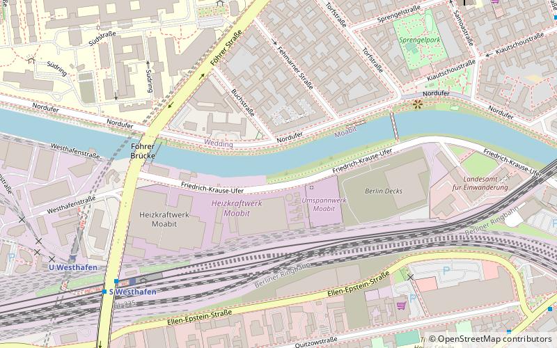
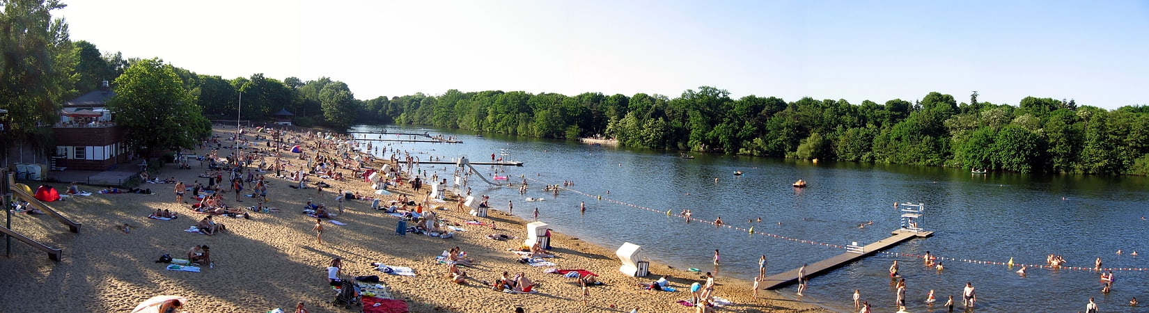
Berlin-Spandau Ship Canal, Berlin

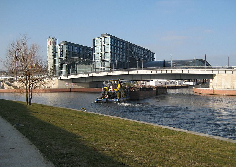
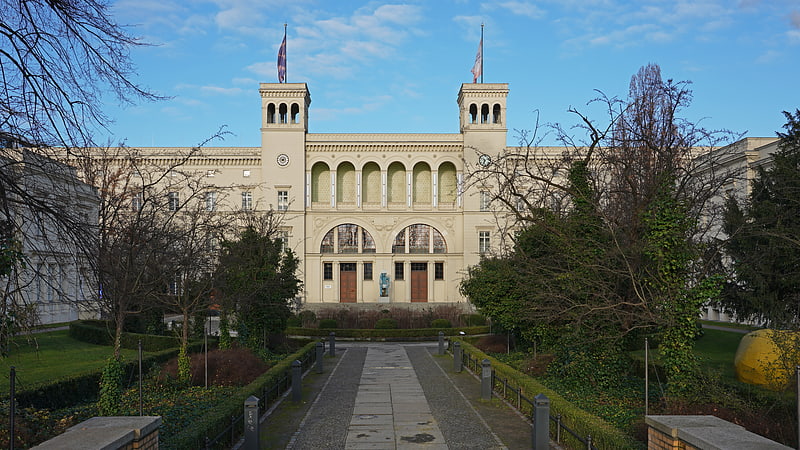
Gallery (3)
Map
Map
Gallery
Facts and practical information
Address
Mitte (Moabit)Berlin
ContactAdd
Social media
Add
Getting there by public transportation
Public transportation stops near this location
- Metro
- Bus
- Tram
- Train
 Metro
Metro
- Calculate routeU Westhafen 8 min walk
- Calculate routeU Amrumer Straße 8 min walk
- Calculate routeU Birkenstraße 14 min walk
- Calculate routeU Leopoldplatz 18 min walk
- Calculate routePerleberger Brücke 11 min walk
- Calculate routeVirchow-Klinikum 15 min walk
- Calculate routeSeestraße/Amrumer Straße 16 min walk
- Calculate routeU Seestraße 21 min walk
- Calculate routeLesser-Ury-Weg 29 min walk
- Calculate routeBerlin Central Station 33 min walk
Maps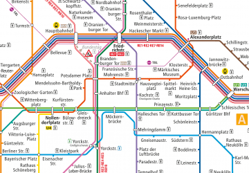 Metro
Metro
MetroDay trips


Frequently Asked Questions (FAQ)
Which popular attractions are close to Berlin-Spandau Ship Canal?
Nearby attractions include Sugar Museum, Berlin (14 min walk), Kulturfabrik Moabit, Berlin (15 min walk), Moabit, Berlin (17 min walk), Fritz Schloß Park, Berlin (18 min walk).
How to get to Berlin-Spandau Ship Canal by public transport?
The nearest stations to Berlin-Spandau Ship Canal:
Metro
Bus
Tram
Train
Metro
- U Westhafen • Lines: U9 (8 min walk)
- U Amrumer Straße • Lines: U9 (8 min walk)
Bus
- Perleberger Brücke • Lines: 123, 142 (11 min walk)
Tram
- Virchow-Klinikum • Lines: 50, M13 (15 min walk)
- Seestraße/Amrumer Straße • Lines: 50, M13 (16 min walk)
Train
- Berlin Central Station (33 min walk)