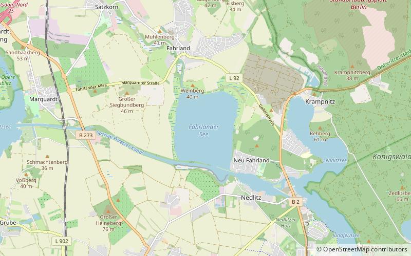
Fahrlander See, Potsdam
Map

Map

Facts and practical information
Alternative names: Area: 0.81 mi²Maximum depth: 10 ftElevation: 85 ft a.s.l.Coordinates: 52°27'6"N, 13°1'16"E
Address
Nördliche Ortsteile (Neu Fahrland)Potsdam
ContactAdd
Social media
Add
Day trips
Fahrlander See – popular in the area (distance from the attraction)
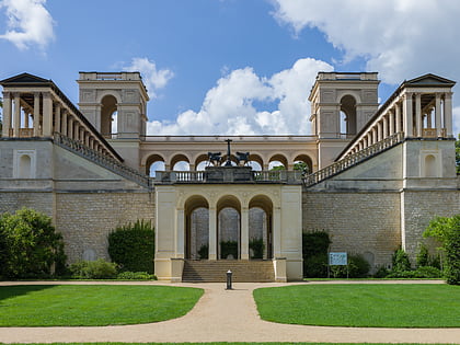
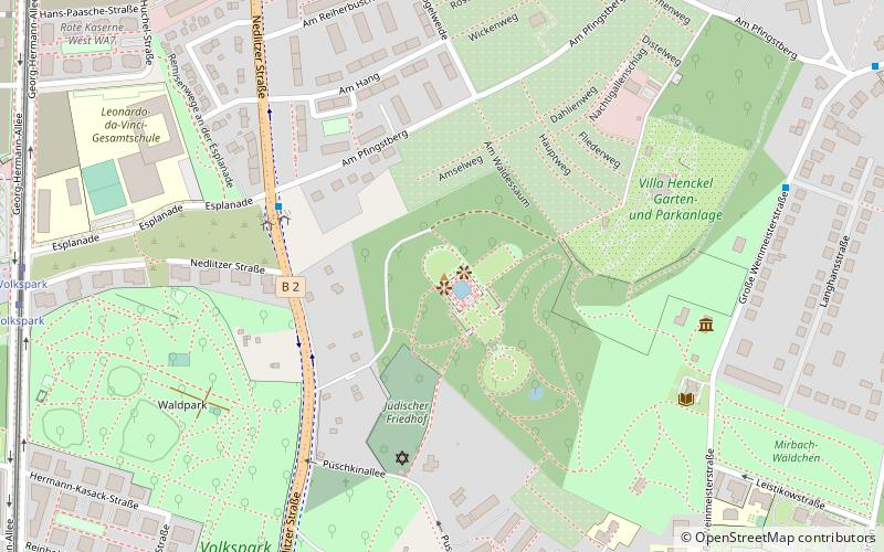
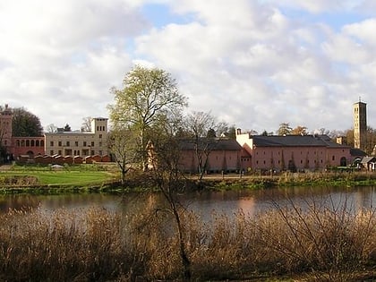
Nearby attractions include: Cecilienhof, Belvedere auf dem Pfingstberg, Klausberg, Krongut Bornstedt.
Frequently Asked Questions (FAQ)
How to get to Fahrlander See by public transport?
The nearest stations to Fahrlander See:
Bus
Bus
- Fahrländer See • Lines: 609, N15 (22 min walk)
- Plantagenweg • Lines: 609, N15 (24 min walk)


