Lüttgenrode
Map
Facts and practical information
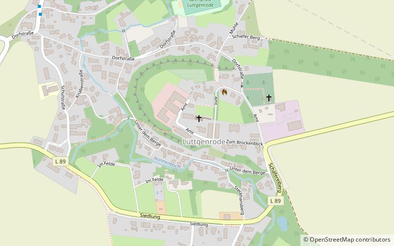
Lüttgenrode is a village and a former municipality in the district of Harz, in Saxony-Anhalt, Germany. Since 1 January 2010, it is part of the town Osterwieck. ()
Day trips
Lüttgenrode is a village and a former municipality in the district of Harz, in Saxony-Anhalt, Germany. Since 1 January 2010, it is part of the town Osterwieck. ()
Where to next? Visit ![]() Saxony-Anhalt region page or discover the top tourist attractions in Germany.
Saxony-Anhalt region page or discover the top tourist attractions in Germany.