Bayenthal, Cologne
Map

Gallery

Facts and practical information
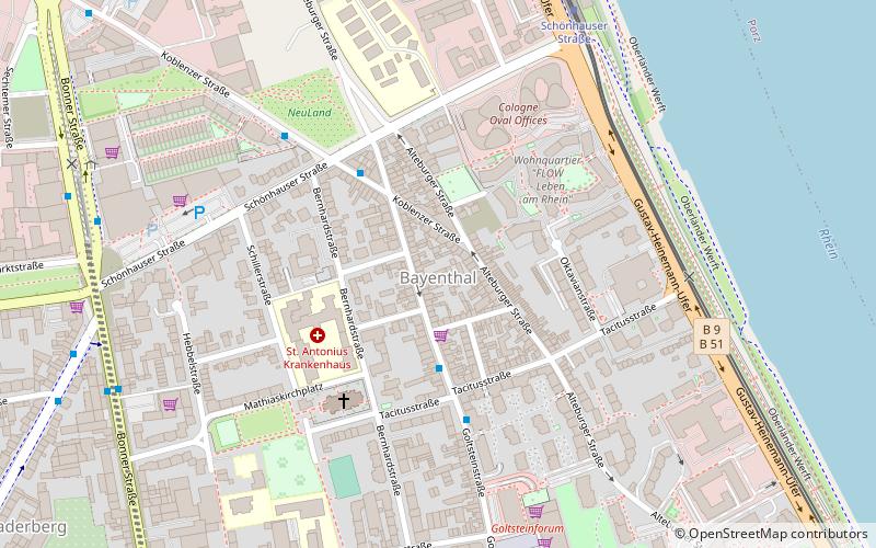
Bayenthal is a neighbourhood of Cologne, Germany and part of the district of Rodenkirchen. Bayenthal lies on the left bank of the river Rhine, between the district of Innenstadt to the North and Marienburg neighbourhood to the South. The borders to these are defined by the Southern Bridge and the Bayenthalgürtel of the Cologne Belt respectively. To the West, Bayenthal borders with Raderberg. ()
Day trips
Bayenthal – popular in the area (distance from the attraction)
Nearby attractions include: Freies Werkstatt Theater, Südbrücke, Cologne Rodenkirchen Bridge, St. Pantaleon.
Frequently Asked Questions (FAQ)
Which popular attractions are close to Bayenthal?
Nearby attractions include Südbrücke, Cologne (12 min walk), Judenbüchel, Cologne (13 min walk), Freies Werkstatt Theater, Cologne (19 min walk), Cologne Ring, Cologne (21 min walk).
How to get to Bayenthal by public transport?
The nearest stations to Bayenthal:
Tram
Bus
Tram
- Schönhauser Straße • Lines: 16, 17 (7 min walk)
- Bayenthalgürtel • Lines: 16, 17 (13 min walk)
Bus
- Schüttewerk • Lines: 159 (16 min walk)
- Alfred-Schütte-Allee • Lines: 159 (18 min walk)


