St.-Pauls-Kirche, Rostock
Map

Map

Facts and practical information
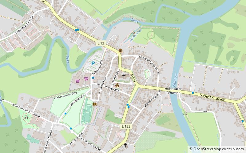
St. Paul's Church is the church of the Evangelical Lutheran parish of Schwaan in the Rostock district. The parish belongs to the church region of Güstrow in the Rostock provostry in the Mecklenburg church district of the Evangelical Lutheran Church in Northern Germany.
Coordinates: 53°56'25"N, 12°6'24"E
Day trips
St.-Pauls-Kirche – popular in the area (distance from the attraction)
Nearby attractions include: Brooksee, Hohen Sprenzer See, Schwaan.
Frequently Asked Questions (FAQ)
How to get to St.-Pauls-Kirche by public transport?
The nearest stations to St.-Pauls-Kirche:
Train
Train
- Schwaan (12 min walk)


