Baumschulenweg, Berlin
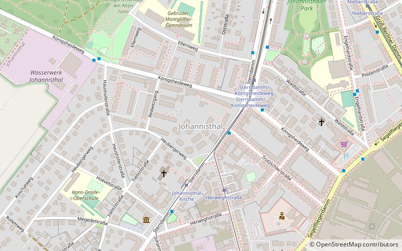
Map

Gallery

Facts and practical information
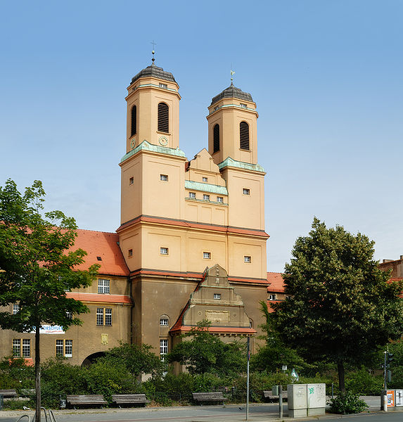
Baumschulenweg is a German locality within the Berlin borough of Treptow-Köpenick. Until 2001 it was part of the former borough of Treptow. Its name means road of the plant nurseries. It was named after the Späth nursery. ()
Address
Treptow-Köpenick (Johannisthal)Berlin
ContactAdd
Social media
Add
Day trips
Baumschulenweg – popular in the area (distance from the attraction)
Nearby attractions include: Späth-Arboretum, Britz Canal, Johannisthal, Teltow Canal.
Frequently Asked Questions (FAQ)
Which popular attractions are close to Baumschulenweg?
Nearby attractions include Britz Canal, Berlin (5 min walk), Späth-Arboretum, Berlin (8 min walk), Teltow Canal, Berlin (22 min walk).
How to get to Baumschulenweg by public transport?
The nearest stations to Baumschulenweg:
Tram
Ferry
Bus
Tram
- Pietschkerstraße • Lines: 60 (32 min walk)
- Sterndamm/Königsheideweg • Lines: 60 (33 min walk)
Ferry
- Baumschulenstraße/Fähre • Lines: F11 (32 min walk)
- Wilhelmstrand • Lines: F11 (35 min walk)
Bus
- Neuköllnische Brücke • Lines: 246 (36 min walk)

 Metro
Metro


