Westend, Frankfurt

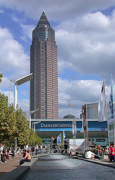
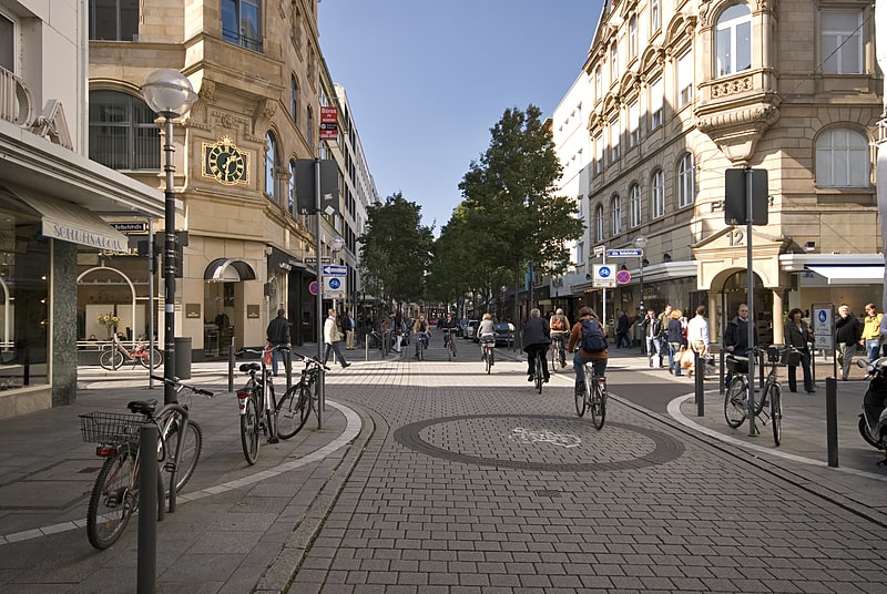
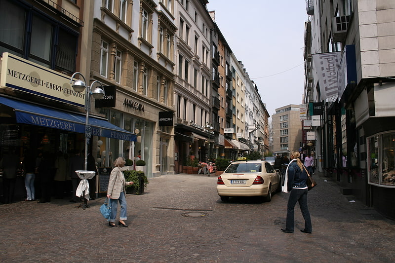
Gallery (3)
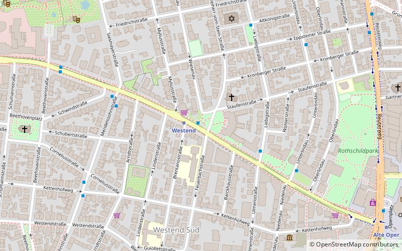
Map
Map
Gallery
Facts and practical information
Westend-Nord and Westend-Süd are two city districts of Frankfurt am Main, Germany. The division into a northern and a southern part is mostly for administrative purposes as the Westend is generally considered an entity. Both city districts are part of the Ortsbezirk Innenstadt II. ()
Address
Innenstadt (Westend-Süd)Frankfurt
ContactAdd
Social media
Add
Getting there by public transportation
Public transportation stops near this location
- Metro
- Bus
- Tram
- Train
 Metro
Metro
- Calculate routeWestend 1 min walk
- Calculate routeWöhlerstraße 4 min walk
- Calculate routeSchubertstraße 5 min walk
- Calculate routeWestend 1 min walk
- Calculate routeAlte Oper 11 min walk
- Calculate routeBockenheimer Warte 12 min walk
- Calculate routeFesthalle/Messe 15 min walk
- Calculate routeTaunusanlage 11 min walk
- Calculate routeHauptwache 19 min walk
- Calculate routeHauptbahnhof 20 min walk
- Calculate routeFrankfurt Hauptbahnhof 21 min walk
- Calculate routeHohenstaufenstraße 15 min walk
- Calculate routeFesthalle/Messe 16 min walk
- Calculate routeBockenheimer Warte 16 min walk
Day trips


Frequently Asked Questions (FAQ)
Which popular attractions are close to Westend?
Nearby attractions include Struwwelpetermuseum, Frankfurt (7 min walk), Rothschildpark, Frankfurt (8 min walk), Opernturm, Frankfurt (9 min walk), Deutsche Bank Twin Towers, Frankfurt (10 min walk).
How to get to Westend by public transport?
The nearest stations to Westend:
Bus
Metro
Train
Tram
Bus
- Westend • Lines: M36, N7 (1 min walk)
- Wöhlerstraße • Lines: M36 (4 min walk)
Metro
- Westend • Lines: U6, U7 (1 min walk)
- Alte Oper • Lines: U6, U7 (11 min walk)
Train
- Taunusanlage (11 min walk)
- Hauptwache (19 min walk)
Tram
- Hohenstaufenstraße • Lines: 16, 17, EEx (15 min walk)
- Festhalle/Messe • Lines: 16, 17, EEx (16 min walk)