Hinterwaldkopf
Map

Gallery

Facts and practical information
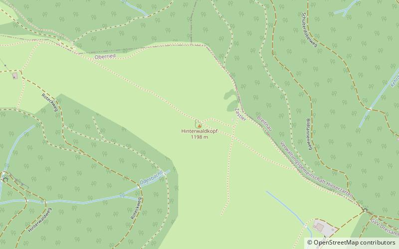
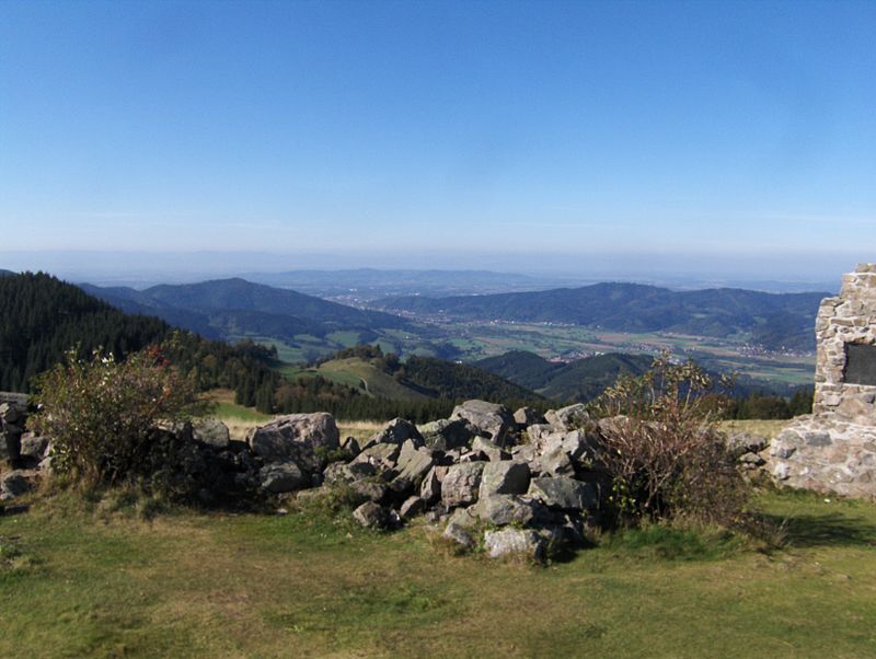
The Hinterwaldkopf is a mountain, 1,198.2 m above sea level, in the Southern Black Forest in Germany. It lies in the southeastern part of the catchment area of the Dreisam east of Freiburg im Breisgau between Kirchzarten and Hinterzarten. To the north it is bounded by the Höllental valley, to the south by the Zastler valley. Nearby settlements include Kirchzarten, Oberried, Falkensteig and Hinterzarten. ()
Location
Baden-Württemberg
ContactAdd
Social media
Add
Day trips
Hinterwaldkopf – popular in the area (distance from the attraction)
Nearby attractions include: Dreisambad, Feldsee, Seebuck, Mathisleweiher.


