St. Peter's Church

Gallery (1)
Map
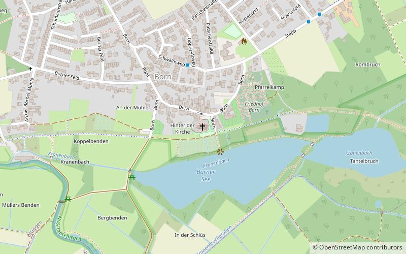
Map
Facts and practical information
The Catholic parish church of St. Peter is a listed church building in Born, a district of the municipality of Brüggen in the district of Viersen.
Coordinates: 51°14'33"N, 6°12'42"E
Day trips