Bochum-Linden, Bochum
Map

Map

Facts and practical information
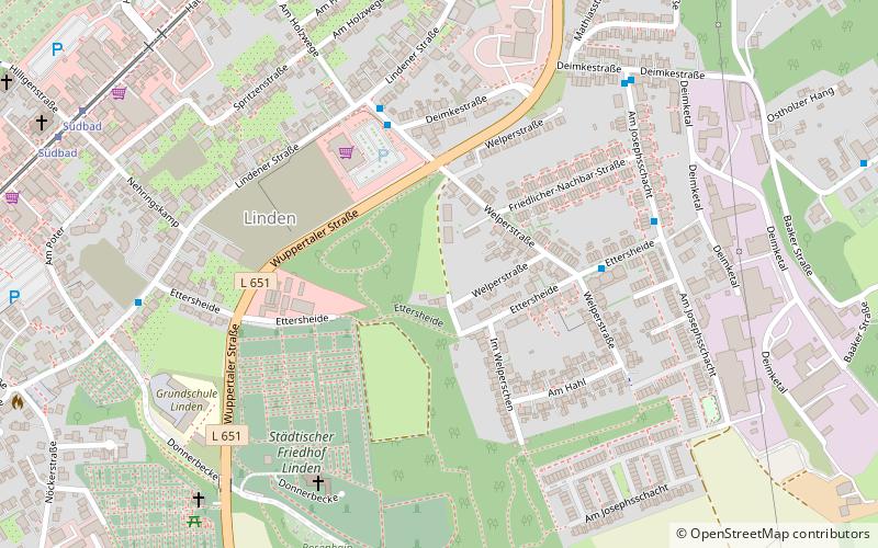
Bochum-Linden is a district of the City of Bochum in the Ruhr area in North Rhine-Westphalia in Germany. The population's main language was once Westphalian, but it has since been replaced by High German. Bochum-Linden is located in the south west of Bochum, between Dahlhausen and Stiepel. It shares a border with Hattingen, a city of Ennepe-Ruhr-Kreis. ()
Address
Bochum Südwest (Linden)Bochum
ContactAdd
Social media
Add
Day trips
Bochum-Linden – popular in the area (distance from the attraction)
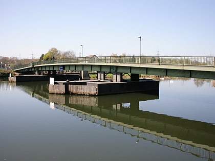
Nearby attractions include: Bochum Observatory, FEUER.WEHRK - Das Feuerwehrmuseum, Dahlhausen, Schwimmbrücke Dahlhausen.
Frequently Asked Questions (FAQ)
How to get to Bochum-Linden by public transport?
The nearest stations to Bochum-Linden:
Bus
Tram
Bus
- Am Holzwege • Lines: 357 (4 min walk)
- Ettersheide • Lines: 357 (5 min walk)
Tram
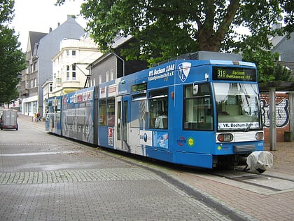
- Am Feldbrand • Lines: 308, 318 (9 min walk)
- Südbad • Lines: 308, 318 (9 min walk)


