Westerberg, Bochum
Map

Map

Facts and practical information
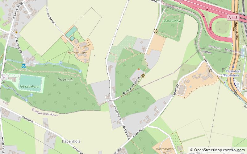
The Westerberg is a 154 m above sea level elevation on the city limits of the cities of Witten and Bochum in North Rhine-Westphalia. Its highest point is located in the area of the neighborhood Kaltehardt in the Bochum district Langendreer in the area of the street Am Honnengraben.
The Westerberg is a northern foothill of the Ardey Mountains.
Coordinates: 51°27'21"N, 7°18'40"E
Address
Bochum
ContactAdd
Social media
Add
Day trips
Westerberg – popular in the area (distance from the attraction)
Nearby attractions include: Steinskulptur, Gustav Landauer Library Witten, St. Mary's Church, Witten Town Hall.
Frequently Asked Questions (FAQ)
Which popular attractions are close to Westerberg?
Nearby attractions include Heven-Papenholz, Witten (7 min walk), Esel, Witten (18 min walk), Brunnen, Witten (18 min walk).
How to get to Westerberg by public transport?
The nearest stations to Westerberg:
Bus
Tram
Bus
- Eschweg • Lines: 355 (9 min walk)
- Urbanusstraße • Lines: 355 (10 min walk)
Tram
- Papenholz • Lines: 309, 310 (9 min walk)
- Auf dem Jäger • Lines: 309, 310 (17 min walk)


