Paulaner Brewery, Munich
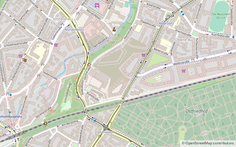
Map
Facts and practical information
Paulaner is a German brewery, established in 1634 in Munich by the Minim friars of the Neudeck ob der Au cloister. The mendicant order and the brewery are named after Francis of Paola, the founder of the order. Paulaner is one of the six breweries who provide beer for Oktoberfest. Paulaner ranks number six among Germany's best-selling beers. ()
Day trips
Paulaner Brewery – popular in the area (distance from the attraction)
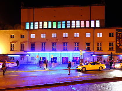
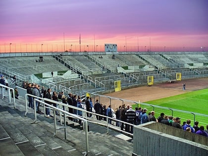
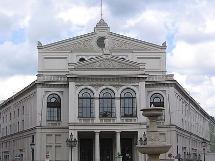
Nearby attractions include: Deutsches Museum, Blitz Club, Grünwalder Stadion, St. Lukas.
Frequently Asked Questions (FAQ)
Which popular attractions are close to Paulaner Brewery?
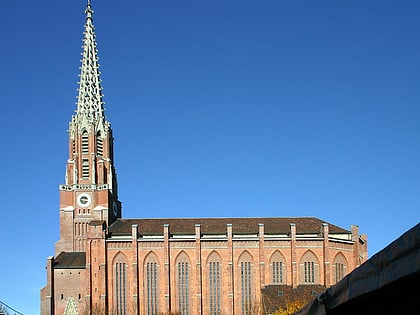
Nearby attractions include Nockherstraße, Munich (7 min walk), Maria-Hilf-Kirche, Munich (7 min walk), Mariahilfplatz, Munich (8 min walk), Auer Dult, Munich (8 min walk).
How to get to Paulaner Brewery by public transport?
The nearest stations to Paulaner Brewery:
Tram
Bus
Metro
Train
Tram
- Ostfriedhof • Lines: 18, 25, E7, N27 (5 min walk)
- Mariahilfplatz • Lines: 18, N27 (6 min walk)
Bus
- Ostfriedhof • Lines: 58, 68, N45, X30 (5 min walk)
- Mariahilfplatz • Lines: 52 (7 min walk)
Metro
- Kolumbusplatz • Lines: U1, U2, U7, U8 (10 min walk)
- Silberhornstraße • Lines: U2, U7, U8 (13 min walk)
Train
- Sankt-Martin-Straße (15 min walk)
- Rosenheimer Platz (17 min walk)

