Signalberg

Map
Facts and practical information
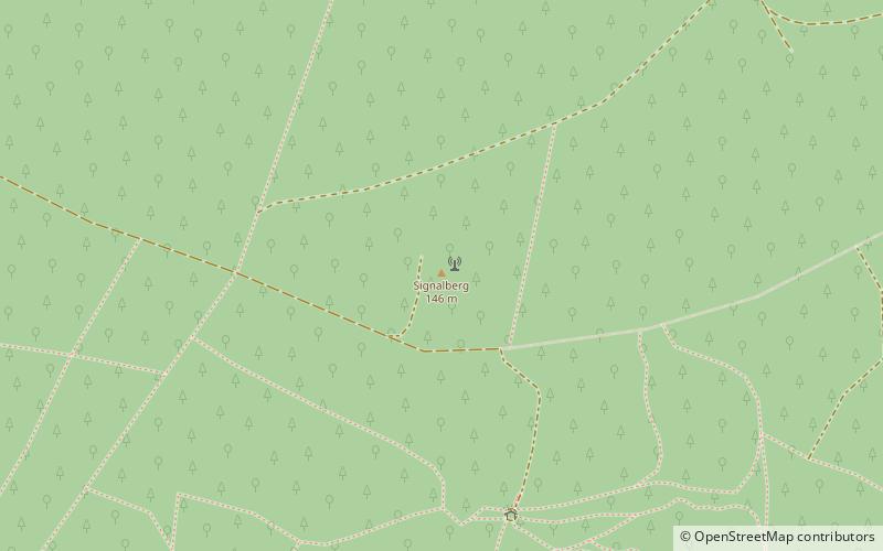
The Signalberg is, at 146 m above sea level, the highest elevation in the Damme Hills and Oldenburg Münsterland. It rises in the district of Vechta in the north German state of Lower Saxony. The name means "beacon hill". ()
Location
Lower Saxony
ContactAdd
Social media
Add
Day trips
Signalberg – popular in the area (distance from the attraction)
Nearby attractions include: Dümmer, Damme Priory, Scheune Leiber, St. Viktor.


