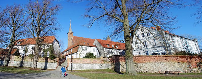
Sankt Klaren Kloster, Ribnitz-Damgarten

Gallery (2)
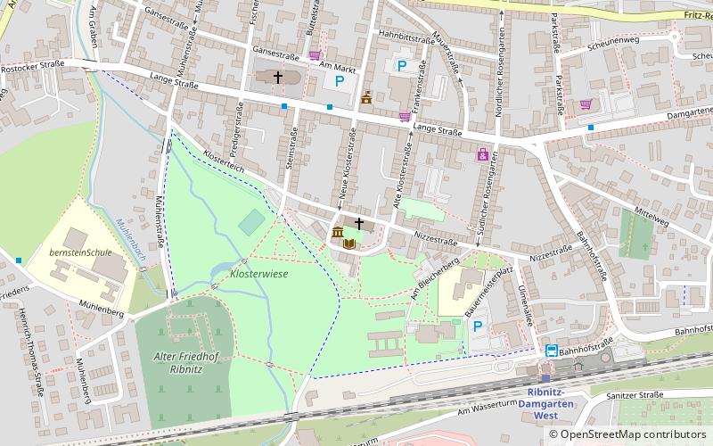
Map
Map
Gallery
Facts and practical information
The Klarissenkloster - also Sankt-Klaren-Kloster Ribnitz, Kloster St. Claren - was a monastery of the Poor Clares and, after the Reformation until the 20th century, a Protestant convent for ladies in the town of Ribnitz in Mecklenburg, united in 1950 with the Pomeranian Damgarten to Ribnitz-Damgarten.
Coordinates: 54°14'29"N, 12°25'57"E
Day trips


Frequently Asked Questions (FAQ)
Which popular attractions are close to Sankt Klaren Kloster?
Nearby attractions include Deutsches Bernsteinmuseum, Ribnitz-Damgarten (1 min walk), Sankt Marien, Ribnitz-Damgarten (5 min walk), Rostocker Tor, Ribnitz-Damgarten (8 min walk).