Kletterinsel, Fürstenfeldbruck

Gallery (1)
Map
Map
Facts and practical information
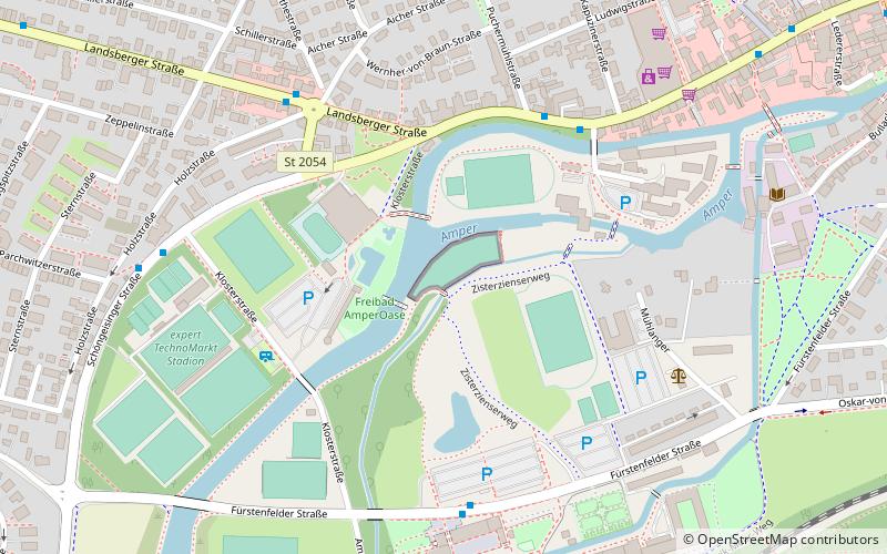
Kletterinsel is a place located in Fürstenfeldbruck (Bavaria ) and belongs to the category of amusement, adventure park, tours.
It is situated at an altitude of 1716 feet, and its geographical coordinates are 48°10'27"N latitude and 11°14'48"E longitude.
Among other places and attractions worth visiting in the area are: Sauna Amperoase (watersports, 3 min walk), Kloster Fürstenfeld (art museum, 8 min walk), Burgstall Gegenpoint (forts and castles, 31 min walk).
Coordinates: 48°10'27"N, 11°14'48"E
Day trips


