Rosenau, Nuremberg
Map

Gallery
Facts and practical information
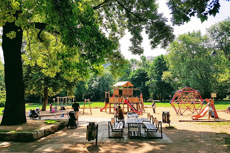
Rosenaupark or Rosenau is a park of about 3 hectares in Nuremberg. It is located in the district Kleinweidenmühle west of the Fürther Tor in front of the walls of the old town in a depression, which is geologically as a dry fallen oxbow of the nearby Pegnitz.
Elevation: 1004 ft a.s.l.Coordinates: 49°27'4"N, 11°3'51"E
Address
Mitte (Himpfelshof)Nuremberg
ContactAdd
Social media
Add
Day trips
Rosenau – popular in the area (distance from the attraction)
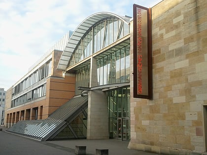
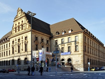
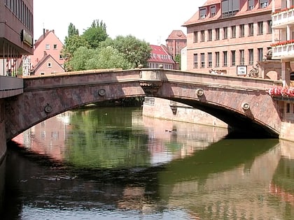
Nearby attractions include: Germanisches Nationalmuseum, DB Museum, Fleisch Bridge, St. Elizabeth.
Frequently Asked Questions (FAQ)
Which popular attractions are close to Rosenau?
Nearby attractions include Transit, Nuremberg (5 min walk), Spittlertorturm, Nuremberg (6 min walk), Nicolaus-Copernicus-Planetarium Nürnberg, Nuremberg (6 min walk), St. Elizabeth, Nuremberg (7 min walk).
How to get to Rosenau by public transport?
The nearest stations to Rosenau:
Tram
Bus
Metro
Train
Tram
- Obere Turnstraße • Lines: 4, 6 (3 min walk)
- Plärrer • Lines: 4, 6 (6 min walk)
Bus
- Obere Turnstraße • Lines: 36, N10 (3 min walk)
- Plärrer • Lines: 34, 36, 84, N10, N9 (6 min walk)
Metro
- Plärrer • Lines: U1, U2, U3 (5 min walk)
- Weißer Turm • Lines: U1 (7 min walk)
Train
- Nürnberg Rothenburger Straße (15 min walk)
- Nürnberg-Steinbühl (16 min walk)

