Golfpark Schloßgut Lenzfried, Kempten

Facts and practical information
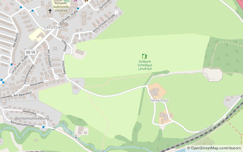
Golfpark Schloßgut Lenzfried (address: Friedensweg 4) is a place located in Kempten (Bavaria ) and belongs to the category of golf.
It is situated at an altitude of 2448 feet, and its geographical coordinates are 47°43'30"N latitude and 10°20'37"E longitude.
Planning a visit to this place, one can easily and conveniently get there by public transportation. Golfpark Schloßgut Lenzfried is a short distance from the following public transport stations: Kempten, Ostbfstr/Alte Bleiche (bus, 11 min walk), Kempten Ost (train, 18 min walk).
Among other places and attractions worth visiting in the area are: Landschaftspark Engelhalde (park, 19 min walk), Unter der Burghalde (forts and castles, 28 min walk), Stadttheater Kempten (concerts and shows, 31 min walk).
Friedensweg 4Kempten
- Bus
- Train
 Bus
Bus
- Calculate routeKempten, Ostbfstr/Alte Bleiche 11 min walk
- Calculate routeKempten, E.-Selbert-Str. 13 min walk
- Calculate routeSchumacherring / Lenzfrieder Str. 13 min walk
- Calculate routeKempten Ost 18 min walk
- Calculate routeSt. Mang 37 min walk


Frequently Asked Questions (FAQ)
How to get to Golfpark Schloßgut Lenzfried by public transport?
Bus
- Kempten, Ostbfstr/Alte Bleiche • Lines: 1 (11 min walk)
- Kempten, E.-Selbert-Str. • Lines: 21 (13 min walk)
Train
- Kempten Ost (18 min walk)
- St. Mang (37 min walk)