Friedrichs Bridge, Berlin
Map
Gallery
Facts and practical information
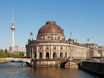
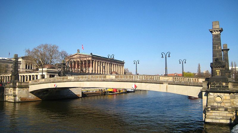
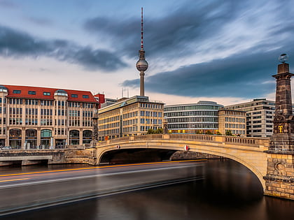
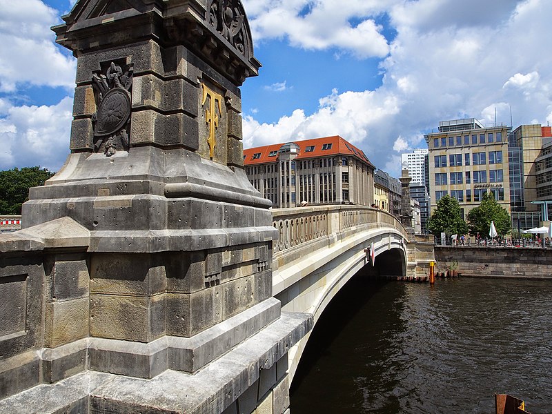
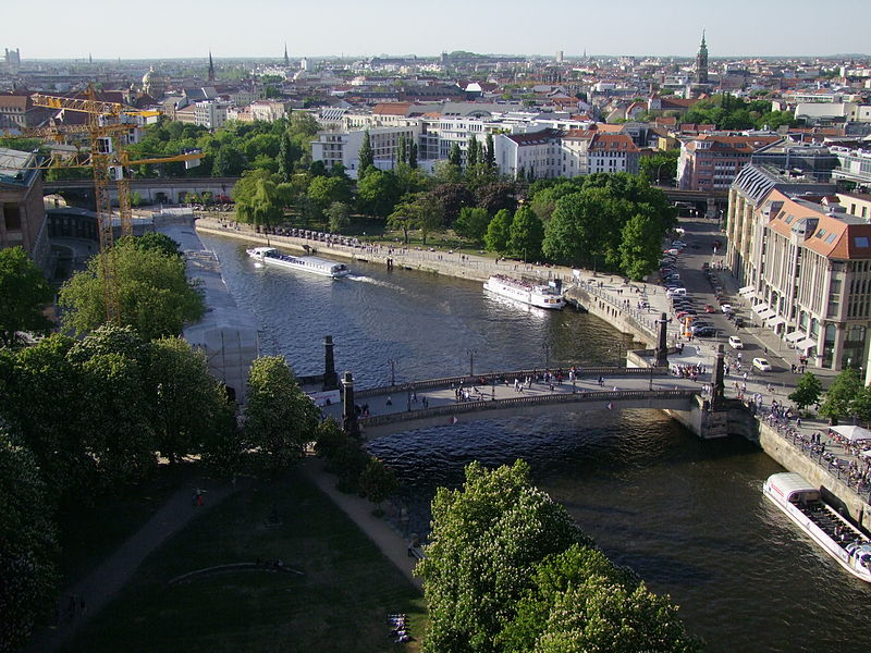
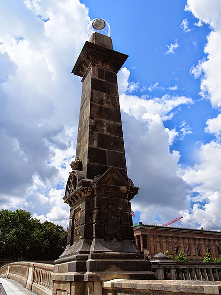
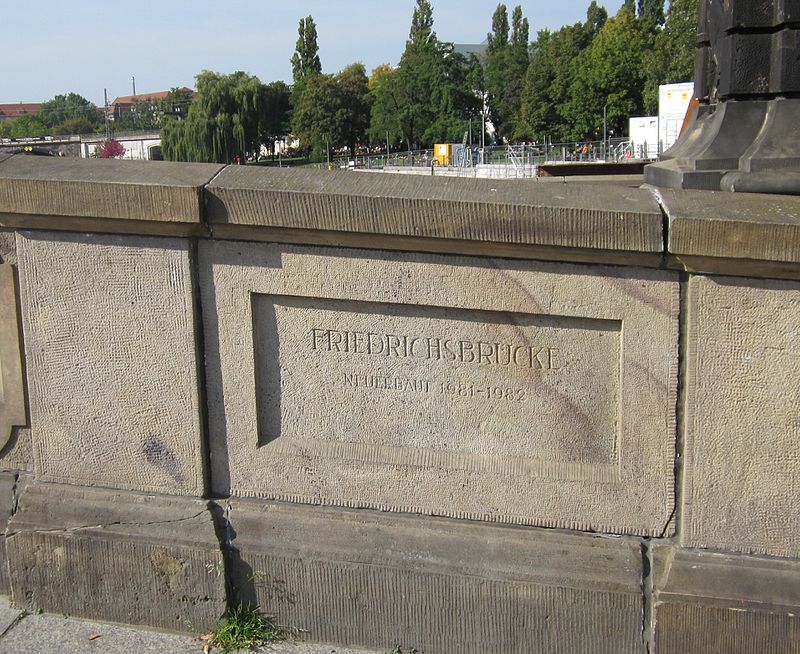
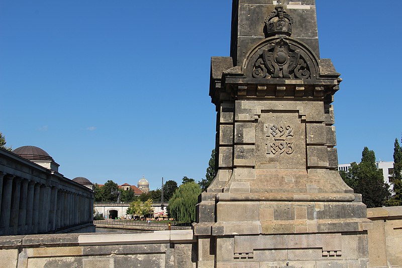
Friedrichs Bridge is a bridge in Berlin, one of several crossing the Spree between Museum Island and the mainland portion of Mitte. It connects Anna-Louisa-Karsch-Straße with Bodestraße. Since its creation in 1703, the bridge has been repeatedly renovated. It is considered a protected monument. ()
Day trips
Friedrichs Bridge – popular in the area (distance from the attraction)
Nearby attractions include: Pergamon Museum, Berlin Cathedral, Altes Museum, Neues Museum.
Frequently Asked Questions (FAQ)
Which popular attractions are close to Friedrichs Bridge?
Nearby attractions include The Monument, Berlin (2 min walk), Equestrian statue of Frederick William IV, Berlin (2 min walk), Alte Nationalgalerie, Berlin (3 min walk), Amazone zu Pferde, Berlin (3 min walk).
How to get to Friedrichs Bridge by public transport?
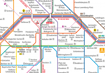
The nearest stations to Friedrichs Bridge:
Tram
Metro
Train
Bus
Tram
- S Hackescher Markt • Lines: M1, M4, M5, M6 (7 min walk)
- Spandauer Straße/Marienkirche • Lines: M4, M5, M6 (5 min walk)
Metro
- U Museumsinsel • Lines: U5 (7 min walk)
- U Rotes Rathaus • Lines: U5 (9 min walk)
Train
- Berlin Alexanderplatz (12 min walk)
- Berlin Friedrichstraße (15 min walk)
Bus
- Alexanderplatz • Lines: 002, 057, 065, 070, 125, 1385, 170, 270, 370, N13, N1385, N232, N44, N70 (16 min walk)


 Metro
Metro


