Gymnicher Mühle, Erftstadt

Gallery (1)
Map
Map
Facts and practical information
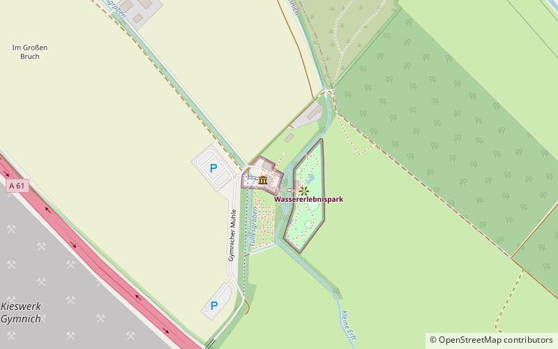
Gymnicher Mühle (address: Gymnicher Mühle) is a place located in Erftstadt (North Rhine-Westphalia state) and belongs to the category of outdoor activities, watermill.
It is situated at an altitude of 279 feet, and its geographical coordinates are 50°51'17"N latitude and 6°43'56"E longitude.
Among other places and attractions worth visiting in the area are: Naturparkzentrum Gymnicher Mühle (amusement, 1 min walk), Schloss Türnich, Kerpen (forts and castles, 20 min walk), Schloss Gymnich (forts and castles, 26 min walk).
Coordinates: 50°51'17"N, 6°43'56"E
Day trips


