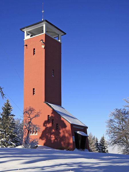
Raichberg

Gallery (2)
Map
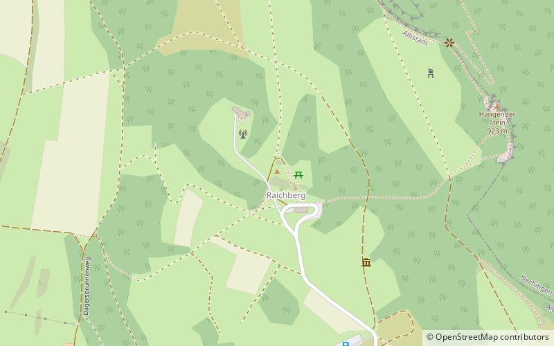
Map
Gallery
Facts and practical information
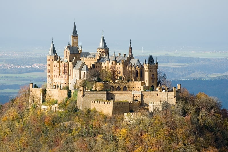
Raichberg is a mountain of Baden-Württemberg, Germany, with an elevation of 956 meters above sea level. It is located in Zollernalbkreis close to the northwestern edge of the Schwäbische 'Alb'. ()
Location
Baden-Württemberg
ContactAdd
Social media
Add
Day trips