Heimatstube Sörnewitz

Gallery (1)
Map
Map
Facts and practical information
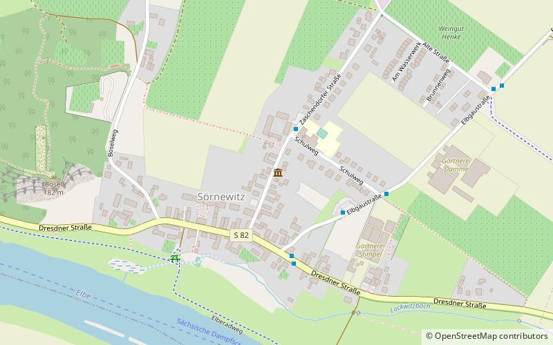
Heimatstube Sörnewitz (address: Zaschendorfer Straße) is a place located in Germany and belongs to the category of museum.
It is situated at an altitude of 354 feet, and its geographical coordinates are 51°8'17"N latitude and 13°31'19"E longitude.
Among other places and attractions worth visiting in the area are: Holländermühle BrockwitzCoswig (windmill, 33 min walk), Gründelmühle BrockwitzCoswig (windmill, 38 min walk), Schloss Siebeneichen (forts and castles, 49 min walk).
Coordinates: 51°8'17"N, 13°31'19"E
Day trips


