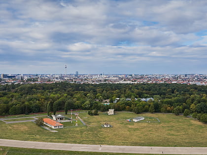
Tempelhof, Berlin
Map
Gallery
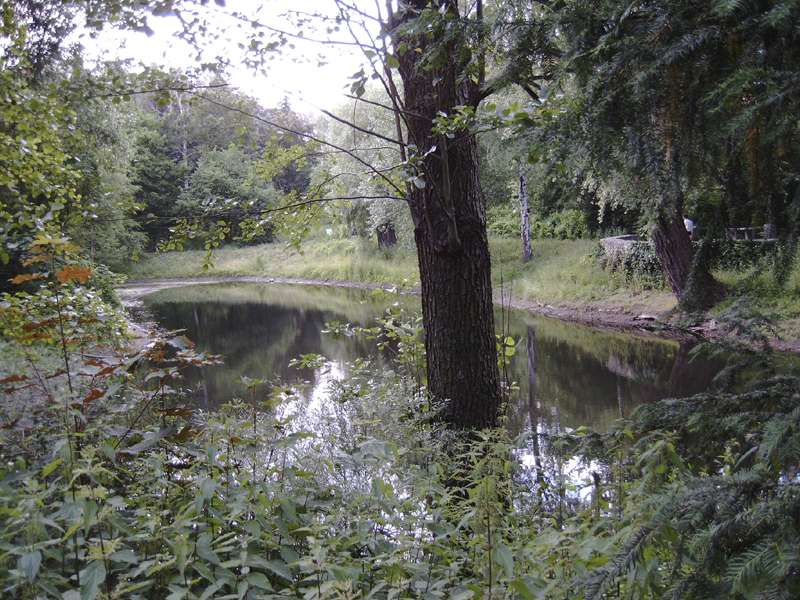
Facts and practical information
Tempelhof is a locality of Berlin within the borough of Tempelhof-Schöneberg. It is the location of the former Tempelhof Airport, one of the earliest commercial airports in the world. The former airport and surroundings are now a park called Tempelhofer Feld, making it the largest inner city open space in the world. ()
Address
Tempelhof-Schöneberg (Tempelhof)Berlin
ContactAdd
Social media
Add
Day trips
Tempelhof – popular in the area (distance from the attraction)
Nearby attractions include: Tempelhofer Feld, Volkspark Hasenheide, Şehitlik-Moschee, Schwerbelastungskörper.
Frequently Asked Questions (FAQ)
How to get to Tempelhof by public transport?
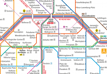
The nearest stations to Tempelhof:
Metro
Train
Bus
Metro
- U Alt-Tempelhof • Lines: U6 (6 min walk)
- U Tempelhof • Lines: U6 (8 min walk)
Train
- Berlin Südkreuz (32 min walk)
Bus
- S Bahnhof Südkreuz (34 min walk)




 Metro
Metro
