Kirchrode-Bemerode-Wülferode, Hanover

Map
Facts and practical information
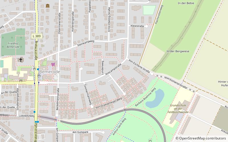
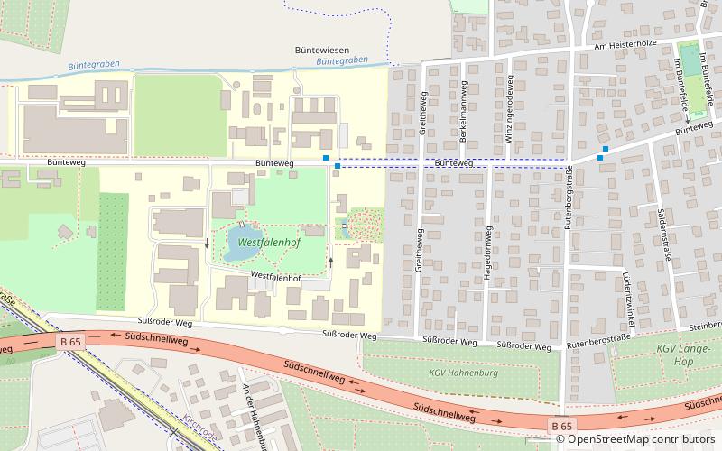
Kirchrode-Bemerode-Wülferode is the sixth borough of Hanover. As of 2020, it has 32,625 inhabitants and consists of the quarters Kirchrode, Bemerode and Wülferode. ()
Address
Kirchrode-Bemerode-Wülferode (Bemerode)Hanover
ContactAdd
Social media
Add
Day trips
Kirchrode-Bemerode-Wülferode – popular in the area (distance from the attraction)
Nearby attractions include: Evangelical Church Centre Kronsberg, St. Maria Angelica, Heil- und Giftpflanzengarten der Tierärztlichen Hochschule Hannover, Blindenmuseum Hannover.
Frequently Asked Questions (FAQ)
Which popular attractions are close to Kirchrode-Bemerode-Wülferode?
Nearby attractions include Evangelical Church Centre Kronsberg, Hanover (14 min walk), Zu den heiligen Engeln, Hanover (18 min walk), St. Maria Angelica, Hanover (21 min walk), Jakobikirche, Hanover (23 min walk).
How to get to Kirchrode-Bemerode-Wülferode by public transport?
The nearest stations to Kirchrode-Bemerode-Wülferode:
Bus
Tram
Bus
- Bemeroder Rathausplatz • Lines: 123, 124 (7 min walk)
- Brabeckstraße / Am Gutspark • Lines: 123, 124, 330 (8 min walk)
Tram
- Feldbuschwende • Lines: 16, 6 (9 min walk)
- Emslandstraße • Lines: 16, 6 (14 min walk)


