Staffelsee
Map

Map

Facts and practical information
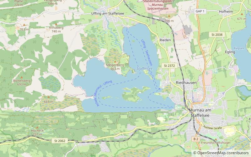
The Staffelsee is a lake in the Garmisch-Partenkirchen district of Bavaria, Germany. The settlements of Murnau, Seehausen and Uffing lie on its shores. Within its 7 km2 area lie seven islands, the largest and only inhabited of which is Wörth. Wörth was the site of Staffelsee Abbey, a Carolingian monastery founded in the 8th century and dissolved in the 11th century. ()
Alternative names: Area: 2.96 mi²Length: 5.95 miWidth: 4.25 miMaximum depth: 129 ftElevation: 2126 ft a.s.l.Coordinates: 47°41'26"N, 11°9'37"E
Location
Bavaria
ContactAdd
Social media
Add
Day trips
Staffelsee – popular in the area (distance from the attraction)
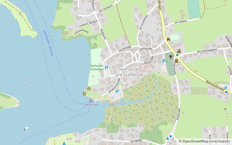
Nearby attractions include: Heimgarten Mountain, Murnau, Bad Kohlgrub, Seehausen am Staffelsee.


