Ulnersche Kapelle, Weinheim
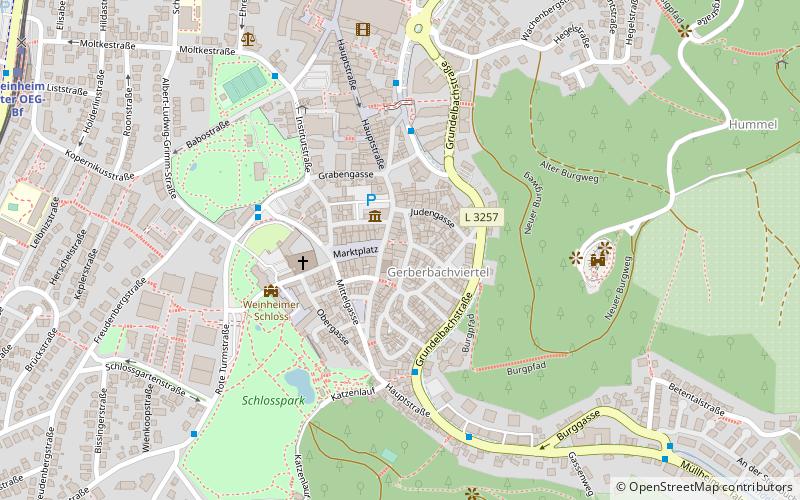
Map

Map

Facts and practical information
Ulnersche Kapelle was a Roman Catholic place of worship in Weinheim in the Rhine-Neckar district in northwestern Baden-Württemberg until 2012; it was built in the 14th century, sold in 2012, and deconsecrated as a church.
Coordinates: 49°32'47"N, 8°40'23"E
Address
Hauptstraße 119Weinheim
ContactAdd
Social media
Add
Day trips
Ulnersche Kapelle – popular in the area (distance from the attraction)
Nearby attractions include: Schau- und Sichtungsgarten Hermannshof, Windeck Castle, Wachenburg, Exotenwald Weinheim.
Frequently Asked Questions (FAQ)
Which popular attractions are close to Ulnersche Kapelle?
Nearby attractions include Weinheimer Schloss, Weinheim (4 min walk), Windeck Castle, Weinheim (5 min walk), Schau- und Sichtungsgarten Hermannshof, Weinheim (5 min walk), Exotenwald Weinheim, Weinheim (10 min walk).
How to get to Ulnersche Kapelle by public transport?
The nearest stations to Ulnersche Kapelle:
Bus
Train
Bus
- Weinheim Schlossbergterrasse • Lines: 681, 682 (4 min walk)
- Weinheim Hermannshof • Lines: 632, 632A, 633, 634 (4 min walk)
Train
- Weinheim Alter OEG-Bf (11 min walk)
- Weinheim Alter OEG-Bahnhof (11 min walk)


