Toter Mann

Gallery (1)
Map
Map
Facts and practical information
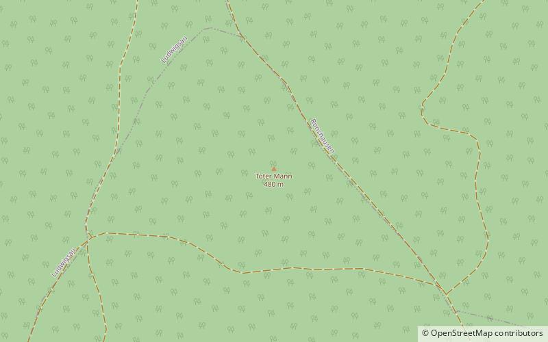
The Toter Mann near Friedewald in the Hessian county of Hersfeld-Rotenburg is, at 480.3 m above sea level, the highest natural hill in the Seulingswald range. This small upland is the southernmost spur of the Fulda-Werra Uplands. ()
Location
Hesse
ContactAdd
Social media
Add
Day trips


