Helpt Hills

Gallery (1)
Map
Map
Facts and practical information
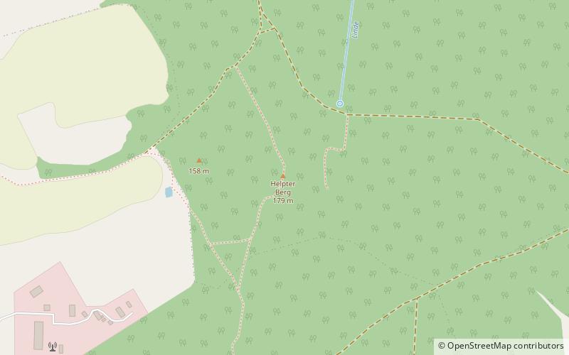
The Helpt Hills are the highest natural elevation in the northeast German state of Mecklenburg-Vorpommern reaching a maximum height of 179.2 metres above sea level. The hills are a terminal moraine formed during the Pomeranian stadium of the Weichselian glaciation and were named after the village of Helpt on their northern slopes. ()
Location
Mecklenburg-West Pomerania
ContactAdd
Social media
Add