Monte Troodelöh, Cologne
Map

Map

Facts and practical information
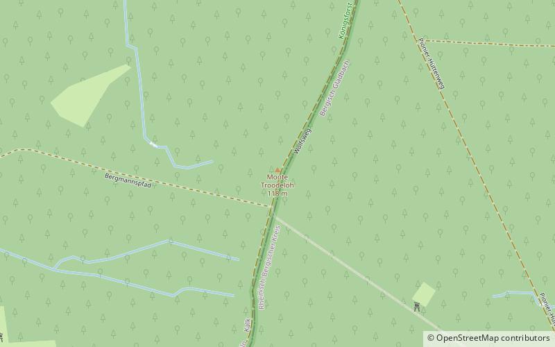
Monte Troodelöh is the highest point in the municipal area of the city of Cologne. It lies in the Rath/Heumar district, approximately 1,250 metres south of the A4 at Wolfsweg between the intersection of Pionier-Hütten-Weg and the Brück-Forsbacher Weg. ()
Address
Kalk (Rath - Heumar)Cologne
ContactAdd
Social media
Add
Day trips
Monte Troodelöh – popular in the area (distance from the attraction)
Nearby attractions include: Mediterana, Naturfreibad Vingst, Cassiopeia Theater, Kunstmuseum Villa Zanders.
Frequently Asked Questions (FAQ)
How to get to Monte Troodelöh by public transport?
The nearest stations to Monte Troodelöh:
Bus
Tram
Bus
- Mozartstraße • Lines: 452, N44 (27 min walk)
- Schubertstraße • Lines: 452, N44 (28 min walk)
Tram
- Refrath • Lines: 1 (40 min walk)


