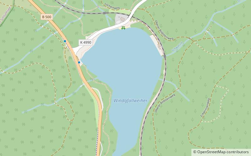
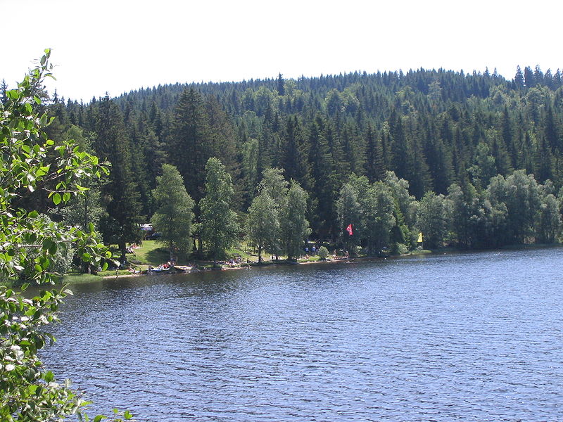
Windgfällweiher, Lenzkirch

Gallery (3)
Map
Map
Gallery
Facts and practical information
The Windgfällweiher is a reservoir between the Titisee and the Schluchsee in the south of Baden-Württemberg, Germany. It is located within the High Black Forest and lies in a hollow formed by ice age glaciation between the villages of Altglashütten, Falkau and Aha on the territory of the municipality of Lenzkirch. ()
Alternative names: Area: 48.95 acres (0.0765 mi²)Length: 2297 ftWidth: 1312 ftMaximum depth: 20 ftElevation: 3182 ft a.s.l.Coordinates: 47°51'6"N, 8°7'32"E
Address
Lenzkirch
ContactAdd
Social media
Add
Day trips


