Balanstraße, Munich
Map
Gallery
Facts and practical information
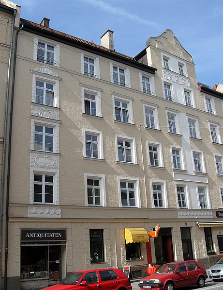
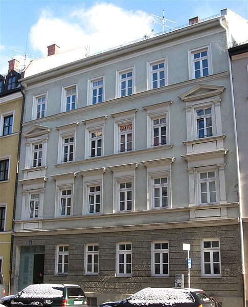
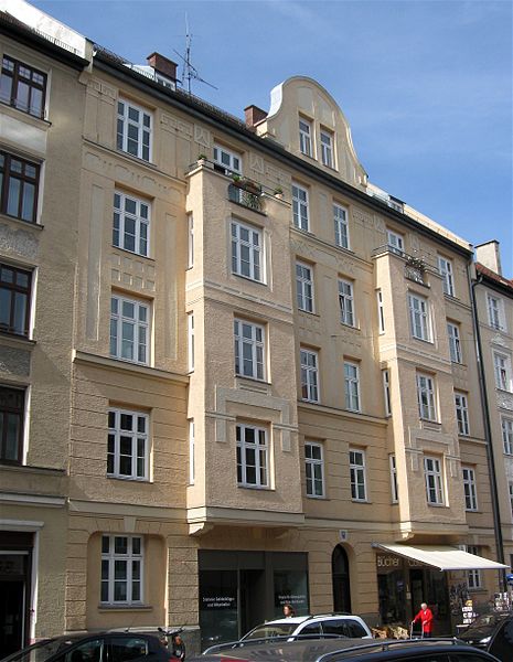
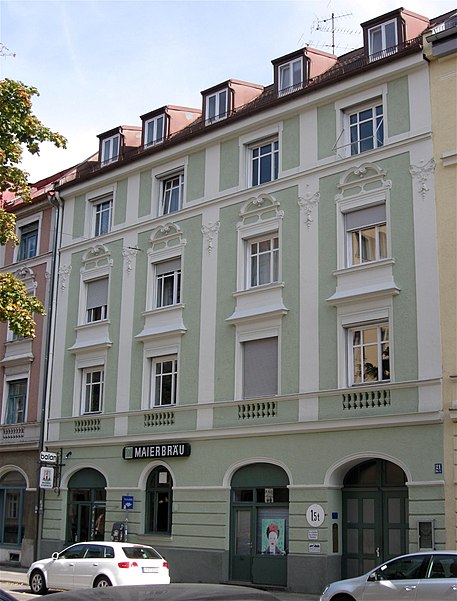
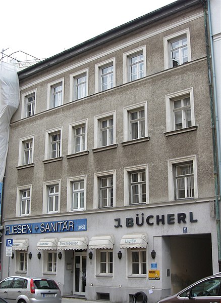
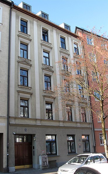
The Balanstraße is a street in Munich which begins at the Rosenheimer Platz and runs in a southerly direction through the districts Haidhausen, Giesing and Ramersdorf to the district of Fasangarten. It ends at the border road directly on the city boundary to the municipality Neubiberg in the district of Munich. ()
Day trips
Balanstraße – popular in the area (distance from the attraction)
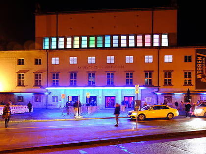
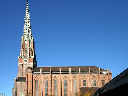
Nearby attractions include: Maximilianstraße, Deutsches Museum, Blitz Club, St. Lukas.
Frequently Asked Questions (FAQ)
Which popular attractions are close to Balanstraße?
Nearby attractions include Weißenburger Platz, Munich (3 min walk), Au-Haidhausen, Munich (5 min walk), Haidhausen, Munich (5 min walk), Gasteig, Munich (7 min walk).
How to get to Balanstraße by public transport?
The nearest stations to Balanstraße:
Tram
Train
Bus
Metro
Tram
- Rosenheimer Platz • Lines: 25, E7 (2 min walk)
- Wörthstraße • Lines: 21, 25, E7, N19 (8 min walk)
Train
- Rosenheimer Platz (3 min walk)
- München Ost (14 min walk)
Bus
- Orleansstraße • Lines: 145, 155, 54, 55, 58, 62, 68, N43, N44, N45, N75 (8 min walk)
- Auerfeldstraße • Lines: 58, 62, 68, N45 (9 min walk)
Metro
- Ostbahnhof • Lines: U5 (11 min walk)
- Max-Weber-Platz • Lines: U4, U5 (14 min walk)


