Witch Tower, Oberderdingen

Gallery (1)
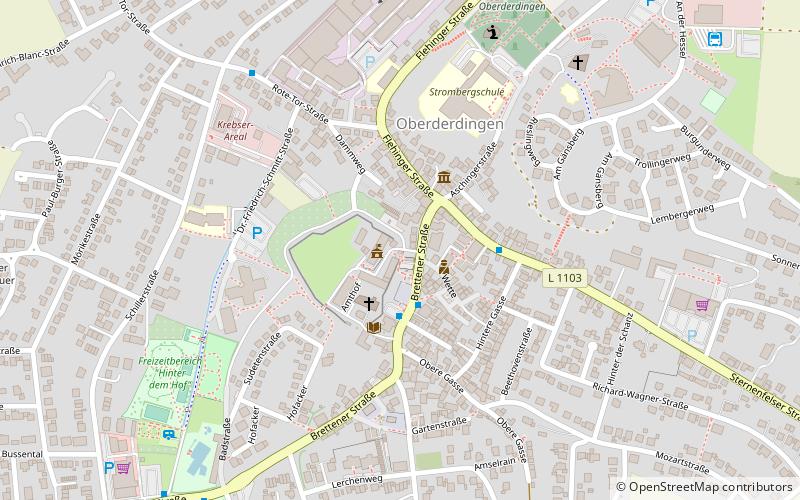
Map
Map
Facts and practical information
The so-called Hexenturm in Oberderdingen, a municipality in the district of Karlsruhe, is a tower of the former fortification of the Amthof Oberderdingen. The building is a protected architectural monument.
Local name: HexenturmCoordinates: 49°3'43"N, 8°48'4"E
Day trips


Frequently Asked Questions (FAQ)
Which popular attractions are close to Witch Tower?
Nearby attractions include Bell Tower, Oberderdingen (2 min walk), Peter und Paul-Kirche, Oberderdingen (15 min walk).