Innenstadt, Frankfurt
Map

Gallery

Facts and practical information
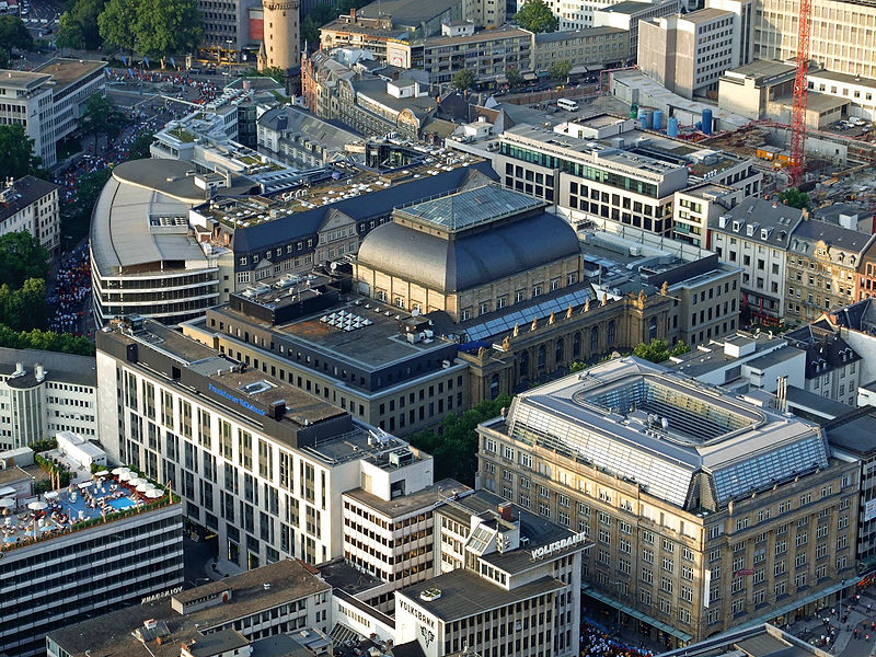
The Innenstadt is the central city district of Frankfurt am Main, Germany. It is part of the Ortsbezirk Innenstadt I. Its western part forms part of Frankfurt's central business district, the Bankenviertel. Germany's most expensive shopping streets and real estate are found within the city district. ()
Day trips
Innenstadt – popular in the area (distance from the attraction)
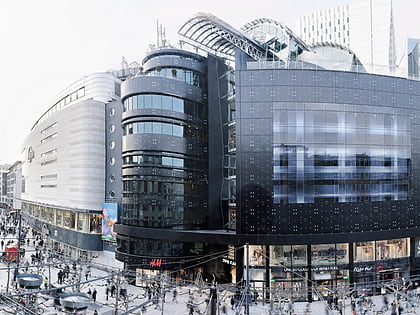
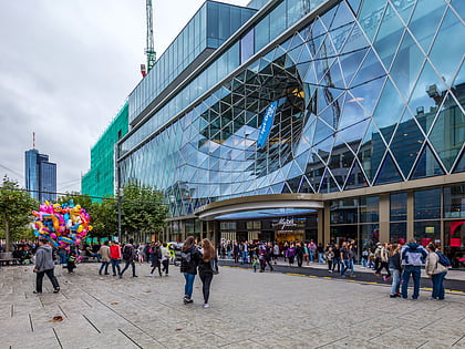
Nearby attractions include: Zeil, Zeilgalerie, Caricatura, Frankfurt Cathedral.
Frequently Asked Questions (FAQ)
Which popular attractions are close to Innenstadt?
Nearby attractions include Altstadt, Frankfurt (2 min walk), Museum für Moderne Kunst, Frankfurt (2 min walk), Berliner Straße, Frankfurt (3 min walk), Church of Our Lady, Frankfurt (3 min walk).
How to get to Innenstadt by public transport?
The nearest stations to Innenstadt:
Bus
Metro
Tram
Train
Bus
- Römer/Paulskirche • Lines: N11, N12, N4, N5 (3 min walk)
- Börneplatz • Lines: 30, N12, N4, N5, n71 (5 min walk)
Metro
- U-Bahn Dom/Römer • Lines: U4, U5 (4 min walk)
- Konstablerwache • Lines: U4, U5, U6, U7 (6 min walk)
Tram
- Römer/Paulskirche • Lines: 11, 12, 14, EEx (4 min walk)
- Konstablerwache • Lines: 12, 18 (6 min walk)
Train
- Hauptwache (7 min walk)
- Frankfurt Eiserner Steg (7 min walk)


