Hohenberg

Gallery (3)
Map
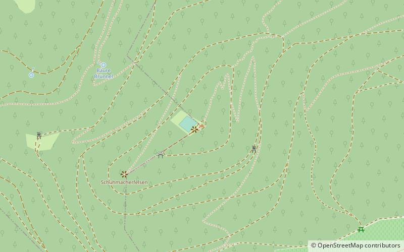
Map
Gallery
Facts and practical information
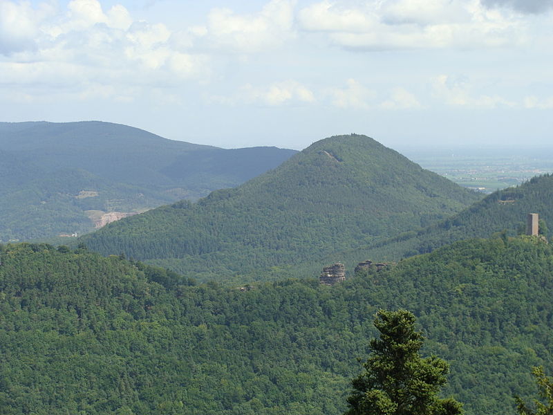
The Hohenberg is a 552 m above sea level high hill in the Palatinate Forest, in the municipalities of Birkweiler, Queichhambach and Siebeldingen. At its summit is an observation tower, a refuge hut and starting ramps for hang gliders. ()
Location
Rhineland-Palatinate
ContactAdd
Social media
Add
Day trips


