New Town Hall, Dresden
Map

Map

Facts and practical information
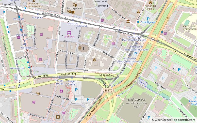
The New City Hall in Dresden is the seat of the Dresden city administration. It is located southeast of the Altmarkt on Dr.-Külz-Ring.
Local name: Neues RathausCoordinates: 51°2'53"N, 13°44'26"E
Address
Altstadt (Innere Altstadt)Dresden
ContactAdd
Social media
Add
Day trips
New Town Hall – popular in the area (distance from the attraction)
Nearby attractions include: Dresden Frauenkirche, Dresden Castle, Green Vault, Kulturpalast.
Frequently Asked Questions (FAQ)
Which popular attractions are close to New Town Hall?
Nearby attractions include Goldener Rathausmann, Dresden (1 min walk), Kreuzkirche, Dresden (3 min walk), Ernst-Julius-Otto-Denkmal, Dresden (3 min walk), Altmarkt, Dresden (5 min walk).
How to get to New Town Hall by public transport?
The nearest stations to New Town Hall:
Tram
Bus
Train
Ferry
Tram
- Pirnaischer Platz • Lines: 1, 12, 2, 3, 4, 7 (4 min walk)
- Prager Straße • Lines: 11, 12, 20, 8, 9 (4 min walk)
Bus
- Pirnaischer Platz • Lines: +261, 333, 360, 366, H/S (6 min walk)
- Webergasse • Lines: 75 (8 min walk)
Train
- Dresden Hbf (17 min walk)
- Hauptbahnhof an der Gläsernen Manufaktur (18 min walk)
Ferry
- Fähre Johannstadt-Neustadt • Lines: Johannstadt - Neustadt (38 min walk)
- Fähre Neustadt-Johannstadt • Lines: Johannstadt - Neustadt (38 min walk)


