Gerhart-Hauptmann-Platz, Hamburg
Map
Map

Facts and practical information
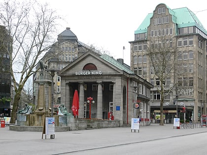
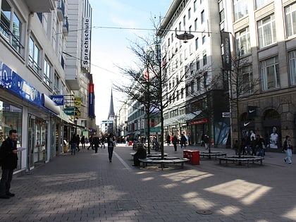
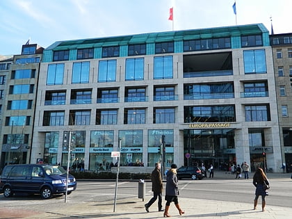
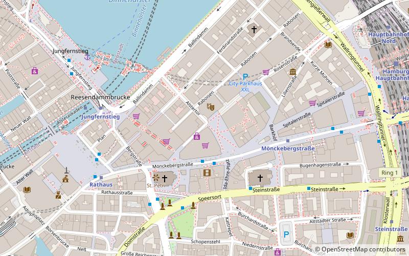
Gerhart-Hauptmann-Platz is a central square in Altstadt quarter, Hamburg, Germany. The former Pferdemarkt is located at the junction of the streets of Mönckebergstraße, Spitalerstraße and Alstertor. The southern part of the square was renamed into Ida-Ehre-Platz on 9 July 2000, in honour of the actress and intendant of Hamburger Kammerspiele. ()
Day trips
Gerhart-Hauptmann-Platz – popular in the area (distance from the attraction)
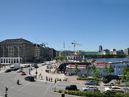
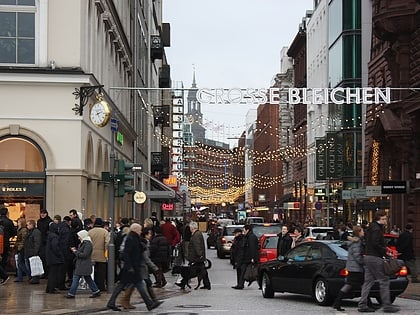
Nearby attractions include: Jungfernstieg, Mönckebergstraße, Spitalerstraße, Hamburger Kunsthalle.
Frequently Asked Questions (FAQ)
Which popular attractions are close to Gerhart-Hauptmann-Platz?
Nearby attractions include Thalia Theater, Hamburg (1 min walk), Church of Saint Peter, Hamburg (3 min walk), Bishop's Tower, Hamburg (3 min walk), St. James' Church, Hamburg (4 min walk).
How to get to Gerhart-Hauptmann-Platz by public transport?
The nearest stations to Gerhart-Hauptmann-Platz:
Bus
Metro
Light rail
Ferry
Train
Bus
- Gerhart-Hauptmann-Platz • Lines: 19, 3, 5, 606, 607, 608, 609, 610, 640, 641 (2 min walk)
- Speersort • Lines: 16, 17, 3, 4, 6, 602, X3, X35 (4 min walk)
Metro
- Mönckebergstraße • Lines: U3 (4 min walk)
- Jungfernstieg • Lines: U1, U2, U4 (5 min walk)
Light rail
- Jungfernstieg • Lines: S1, S2, S3 (6 min walk)
- Hamburg Hauptbahnhof • Lines: S1, S11, S2, S21, S3, S31 (11 min walk)
Ferry
- Jungfernstieg • Lines: Alsterkreuzfahrt (7 min walk)
- Atlantic • Lines: Alsterkreuzfahrt (13 min walk)
Train
- Hamburg Central Station (9 min walk)
- Hamburg Dammtor / Universität (20 min walk)

